
Mavic 3M Feb 26, 2026
Mavic 3M for Forest Monitoring: Expert Technical Guide
- Multispectral imaging with 4 narrow-band sensors enables precise vegetation health assessment across temperature ranges from -10°C to 40°C
See the Unseen, Precision Agriculture Redefined
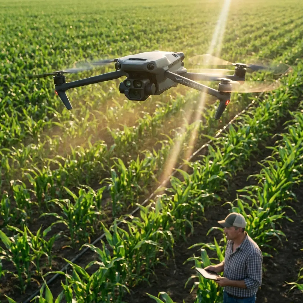
Advanced sensors and intelligent features for professional agriculture.
Built-in multispectral imaging system for crop health monitoring and analysis.
High-precision positioning for accurate mapping and autonomous flight.
15km ultra-long transmission range with stable and clear video feed.
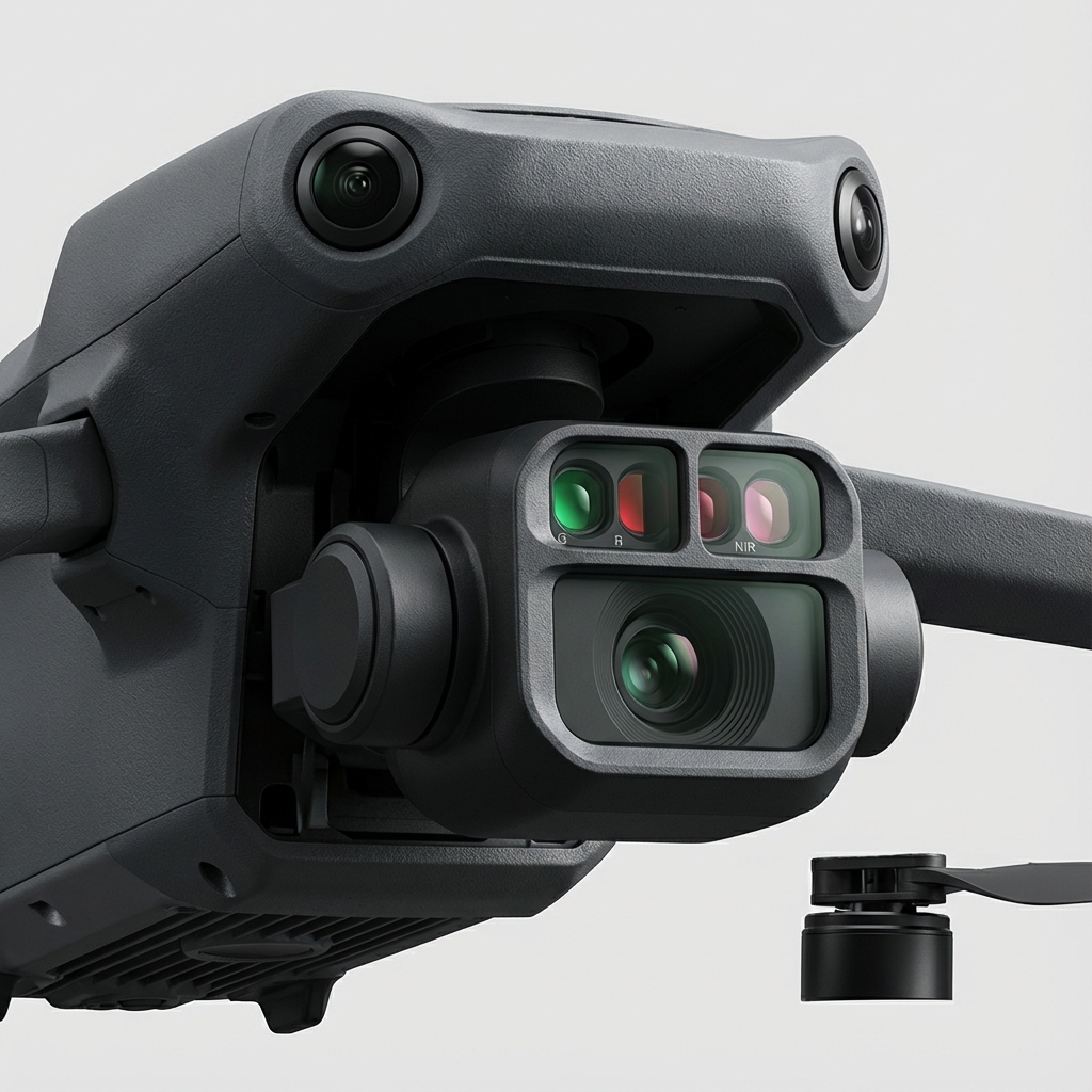
Equipped with a 20MP RGB camera and four 5MP multispectral cameras, the Mavic 3M enables high-precision aerial surveying and crop growth monitoring.
Mechanical shutter prevents motion blur during high-speed flight.
Green, Red, Red Edge, and Near Infrared bands for NDVI analysis.
Built-in sensor records solar irradiance for data normalization.
Stay informed with the latest updates on drone technology, industry trends, and precision agriculture insights.
- Multispectral imaging with 4 narrow-band sensors enables precise vegetation health assessment across temperature ranges from -10°C to 40°C
- Optimal flight altitude of 35-50 meters delivers the best balance between coverage and multispectral resolution for solar panel defect detection
Discover how the DJI Mavic 3M transforms coastal filming with multispectral imaging and centimeter precision. Expert guide for researchers and filmmakers.