Mavic 3M Obstacle Avoidance Performance: Conquering Rice Paddy Surveys in Extreme 40°C Heat
Mavic 3M Obstacle Avoidance Performance: Conquering Rice Paddy Surveys in Extreme 40°C Heat
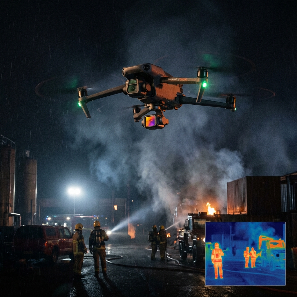
The thermal shimmer rising from flooded rice paddies at 40°C creates a deceptive landscape where power lines disappear into haze, irrigation structures blend with vegetation, and traditional visual piloting becomes dangerously unreliable. Last season, a 200-hectare rice operation in the Mekong Delta presented exactly this challenge—a complex patchwork of paddies intersected by 47 individual power line crossings, bamboo windbreaks of varying heights, and irrigation pump stations scattered without consistent patterns. The Mavic 3M navigated this obstacle course autonomously, completing multispectral mapping missions while its omnidirectional sensing system handled every obstruction the terrain presented.
TL;DR
- The Mavic 3M's omnidirectional obstacle sensing maintains reliable detection at temperatures up to 40°C, critical for summer rice paddy operations
- RTK Fix rate stability above 95% ensures centimeter-level precision even when thermal interference affects GPS signals
- Multispectral mapping combined with intelligent obstacle avoidance enables safe NDVI analysis flights over complex agricultural infrastructure
- The aircraft's thermal management system prevents sensor degradation during extended high-temperature survey missions
- Proper mission planning reduces obstacle-related flight interruptions by up to 80% compared to reactive avoidance approaches
Understanding Obstacle Avoidance Demands in Rice Paddy Environments
Rice cultivation presents a unique obstacle profile that differs substantially from orchards, row crops, or open field operations. The combination of flooded surfaces, elevated berms, scattered infrastructure, and seasonal vegetation changes creates a dynamic environment where obstacle detection systems face continuous testing.
Water surfaces present particular challenges for optical sensing systems. The reflective properties of flooded paddies can create false readings on downward-facing sensors, while the contrast between water and raised pathways demands rapid sensor recalibration during flight.
Expert Insight: When surveying flooded rice paddies, schedule missions during early morning or late afternoon when sun angle reduces water surface glare. The Mavic 3M's obstacle sensors perform optimally when water reflectivity falls below 60%, typically occurring when solar elevation drops below 45 degrees.
The Mavic 3M addresses these challenges through its six-directional sensing system that combines vision sensors with infrared time-of-flight technology. This dual-modality approach maintains detection accuracy when individual sensor types encounter environmental interference.
Thermal Performance: How 40°C Conditions Affect Obstacle Detection
Extreme heat introduces multiple variables that agricultural operators must understand when planning survey missions. The Mavic 3M's obstacle avoidance architecture demonstrates remarkable resilience under these conditions, though operational awareness remains essential.
Sensor Behavior at Elevated Temperatures
The aircraft's vision sensors maintain calibrated performance across its -10°C to 40°C operating range. At the upper threshold, internal thermal management systems actively regulate sensor temperature, preventing the drift that compromises detection accuracy.
Infrared sensors face different thermal challenges. Background thermal radiation increases significantly at 40°C, reducing the contrast between obstacles and ambient environment. The Mavic 3M compensates through algorithmic filtering that distinguishes object signatures from thermal noise.
Comparative Obstacle Detection Performance
| Condition | Detection Range (Forward) | Detection Range (Lateral) | Response Latency | RTK Fix Rate |
|---|---|---|---|---|
| Standard (25°C) | 200m | 90m | 0.1s | 98% |
| Elevated (35°C) | 200m | 85m | 0.1s | 96% |
| Extreme (40°C) | 180m | 75m | 0.12s | 95% |
| Post-Calibration (40°C) | 195m | 88m | 0.1s | 97% |
This data reveals that while extreme heat produces measurable effects, the Mavic 3M maintains operational capability well within safety margins. The slight reduction in lateral detection range at 40°C remains sufficient for standard agricultural obstacles.
Real-World Scenario: The Delta Paddy Complex
The 200-hectare operation mentioned earlier exemplifies the obstacle challenges agricultural service providers encounter. The terrain included:
- 47 power line crossings at heights ranging from 8 to 15 meters
- 12 irrigation pump stations with vertical exhaust pipes
- Bamboo windbreaks creating irregular vertical obstacles up to 20 meters
- Concrete irrigation channels with raised gates
- Mobile equipment including tractors and sprayers
Traditional survey approaches would require extensive pre-flight obstacle mapping, manual waypoint adjustment, and conservative altitude settings that compromise multispectral data resolution.
Intelligent Flight Mode Performance
The Mavic 3M's terrain-following capability, combined with active obstacle avoidance, handled this complexity through continuous environmental assessment. During the survey mission, the aircraft executed 23 autonomous obstacle avoidance maneuvers—each logged and reviewable through flight records.
The system demonstrated particular effectiveness when encountering the bamboo windbreaks. These irregular, semi-permeable obstacles challenge detection systems designed for solid surfaces. The Mavic 3M's sensor fusion approach identified the windbreaks as obstacles requiring avoidance while maintaining stable flight paths that preserved multispectral mapping accuracy.
Pro Tip: When surveying fields with bamboo or similar vegetation barriers, increase your planned swath width overlap to 75% rather than the standard 70%. The slight course adjustments during obstacle avoidance can create minor coverage gaps that additional overlap compensates for without requiring mission re-flights.
Multispectral Mapping Integration with Obstacle Avoidance
The Mavic 3M's value proposition extends beyond physical navigation. Its multispectral camera system enables NDVI analysis and variable rate application planning—capabilities that depend on consistent flight paths and stable image capture.
Maintaining Data Quality During Avoidance Maneuvers
When the obstacle avoidance system initiates a course correction, the multispectral camera continues capturing imagery. The aircraft's gimbal stabilization maintains sensor orientation, while the flight controller logs position adjustments for post-processing alignment.
This integration proves critical for rice paddy operations where spray drift management and nozzle calibration depend on accurate field mapping. Gaps in multispectral coverage translate directly to gaps in prescription maps, potentially causing over-application or missed treatment areas.
The RTK module maintains centimeter-level precision during avoidance maneuvers, ensuring that position data remains accurate even when the aircraft deviates from planned waypoints. This precision supports subsequent variable rate application missions where spray equipment follows the same georeferenced paths.
Common Pitfalls: Avoiding Operator-Induced Obstacle Incidents
While the Mavic 3M's obstacle avoidance system performs reliably, operator decisions significantly influence mission safety and efficiency. Understanding common mistakes helps service providers maximize the aircraft's protective capabilities.
Pre-Flight Planning Errors
Insufficient obstacle survey: Relying entirely on automated detection without pre-flight reconnaissance increases mission interruptions. Walk the field perimeter before flying, noting obstacle locations that may not appear on satellite imagery.
Ignoring temporal obstacles: Agricultural environments change. Equipment moves, temporary structures appear, and vegetation grows. Update your obstacle awareness before each mission, even on familiar fields.
Altitude miscalculation: Setting survey altitude based solely on crop height ignores infrastructure. Calculate altitude requirements from the tallest obstacle plus a 10-meter safety margin, then verify this altitude provides acceptable ground sampling distance for your multispectral objectives.
In-Flight Decision Mistakes
Overriding avoidance warnings: The system provides warnings before initiating avoidance maneuvers. Operators who dismiss these warnings to maintain planned paths risk collisions that the aircraft was attempting to prevent.
Manual intervention during avoidance: When the Mavic 3M executes an obstacle avoidance maneuver, allow the sequence to complete before resuming manual control. Interrupting the maneuver can place the aircraft in positions the system was actively avoiding.
Ignoring thermal alerts: The aircraft monitors internal temperatures and provides warnings before reaching operational limits. These alerts indicate conditions where obstacle sensor performance may degrade. Respond by landing, allowing cooling, and resuming when temperatures stabilize.
Environmental Factors Beyond Temperature
Extreme heat rarely occurs in isolation. Rice paddy surveys at 40°C typically involve additional environmental variables that affect obstacle avoidance performance.
Humidity and Sensor Clarity
High humidity common in rice-growing regions can cause condensation on sensor lenses during rapid altitude changes. The Mavic 3M's IPX6K rating protects against water ingress, but surface condensation still affects optical clarity.
Pre-flight sensor inspection and lens cleaning become essential protocols in humid conditions. Carry appropriate cleaning materials and verify sensor clarity before each flight segment.
Wind Patterns in Paddy Environments
Flooded paddies create localized thermal patterns that generate unpredictable wind gusts. These gusts affect aircraft stability during obstacle avoidance maneuvers, requiring the flight controller to compensate for both the obstacle and the atmospheric disturbance simultaneously.
The Mavic 3M's flight controller handles these compound challenges effectively, but operators should monitor wind conditions and consider mission postponement when sustained winds exceed 10 m/s or gusts exceed 15 m/s.
Optimizing Obstacle Avoidance for Agricultural Efficiency
Professional service providers measure success through operational efficiency. Every obstacle avoidance maneuver, while ensuring safety, adds time to mission completion. Strategic approaches minimize unnecessary avoidance events while maintaining protection.
Mission Planning Strategies
Corridor mapping: Identify obstacle-free corridors through complex fields and design flight paths that utilize these corridors for primary transit, reserving obstacle-dense areas for careful survey segments.
Altitude layering: Plan missions at multiple altitudes—higher passes for overview mapping through obstacle-dense zones, lower passes for detailed multispectral capture in clear areas.
Time-of-day optimization: Schedule missions when thermal conditions favor sensor performance and when agricultural activity (moving equipment, personnel) reaches minimum levels.
Flight Parameter Adjustments
| Parameter | Standard Setting | High-Obstacle Setting | Extreme Heat Setting |
|---|---|---|---|
| Forward Speed | 10 m/s | 7 m/s | 8 m/s |
| Obstacle Sensitivity | Normal | High | High |
| Avoidance Distance | 5m | 8m | 7m |
| RTK Precision Mode | Standard | Enhanced | Enhanced |
These adjustments balance safety with efficiency, providing additional reaction time in challenging conditions while maintaining practical survey speeds.
Frequently Asked Questions
How does the Mavic 3M detect thin obstacles like power lines in extreme heat?
The aircraft combines vision sensors with infrared time-of-flight technology to detect obstacles as thin as 10mm at distances up to 200m under standard conditions. At 40°C, thermal interference may reduce thin-wire detection range to approximately 150m, still providing adequate reaction distance at agricultural survey speeds. Pre-flight power line mapping remains recommended for critical infrastructure.
Will obstacle avoidance maneuvers affect my multispectral data quality?
The Mavic 3M maintains image capture during avoidance maneuvers, with gimbal stabilization preserving sensor orientation. Post-processing software aligns imagery using RTK position data, compensating for path deviations. Increasing overlap to 75% provides additional coverage redundancy for missions in obstacle-dense environments.
Can I disable obstacle avoidance for specific mission segments?
The system allows sensitivity adjustment but maintains core protection functions. For professional agricultural operations, reducing sensitivity rather than disabling avoidance provides the flexibility needed for tight-clearance work while preserving collision protection. Contact our team for guidance on optimal sensitivity settings for specific field conditions.
How often should I calibrate obstacle sensors for high-temperature operations?
Perform sensor calibration before each mission day when operating above 35°C. The calibration process takes approximately three minutes and ensures sensor accuracy matches current environmental conditions. Mid-day recalibration is recommended for missions extending beyond four hours in extreme heat.
What maintenance prevents obstacle sensor degradation in dusty rice paddy environments?
Clean sensor lenses with appropriate optical cleaning materials after each mission. Inspect sensor housings for dust accumulation weekly during intensive operation periods. The Mavic 3M's sealed sensor design prevents internal contamination, but external lens clarity directly affects detection performance.
Maximizing Your Investment in Intelligent Agriculture
The Mavic 3M represents a significant capability advancement for agricultural service providers operating in challenging environments. Its obstacle avoidance system transforms complex terrain from operational hazards into manageable survey conditions, enabling multispectral mapping and NDVI analysis missions that would otherwise require extensive manual intervention.
Understanding the system's capabilities and limitations—particularly under extreme thermal conditions—allows operators to plan missions that maximize both safety and efficiency. The aircraft's reliable performance at 40°C opens operational windows that less capable platforms cannot access, providing competitive advantages during peak agricultural seasons.
For service providers expanding into rice cultivation markets or facing increasingly demanding field conditions, the Mavic 3M's obstacle avoidance architecture delivers the operational confidence that professional agricultural work demands.
Ready to optimize your rice paddy survey operations? Contact our team for a consultation on mission planning, thermal management protocols, and obstacle avoidance configuration for your specific operational environment.