Mavic 3M Emergency Handling for High-Altitude Island Mapping: A Field-Tested Protocol
Mavic 3M Emergency Handling for High-Altitude Island Mapping: A Field-Tested Protocol
TL;DR
- Antenna positioning is critical: Keep your remote controller antennas perpendicular to the aircraft—not pointed at it—to maintain signal integrity at 3000m altitude across island terrain where obstacles and water reflections create unpredictable interference patterns.
- Pre-flight density altitude calculations prevent motor strain and battery depletion; expect 15-25% reduced flight time and adjust mission parameters accordingly before launching multispectral mapping operations.
- RTK Fix rate monitoring becomes your primary emergency indicator—a drop below 95% signals potential positioning degradation that requires immediate mission pause, not continuation.
The Reality of Island Mapping at Extreme Elevations
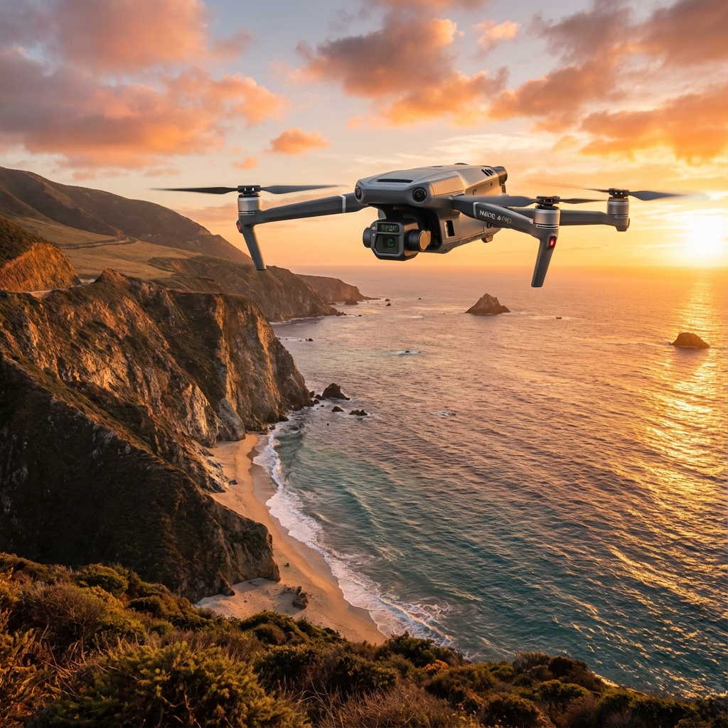
Flying the Mavic 3M for multispectral mapping across island archipelagos at 3000m elevation presents a unique operational matrix. You're dealing with thin air, unpredictable thermal updrafts from surrounding water bodies, and often limited emergency landing zones.
The agricultural service providers who thrive in these conditions share one common trait: they've developed systematic emergency protocols before their first takeoff.
This isn't about the equipment failing you. The Mavic 3M's engineering handles these conditions with remarkable stability. The challenge lies in the environment itself—and your ability to read it correctly.
Understanding the High-Altitude Island Environment
Atmospheric Density and Its Operational Impact
At 3000m, air density drops to approximately 70% of sea level values. This directly affects propeller efficiency, requiring motors to work harder to generate equivalent lift.
The Mavic 3M compensates through its intelligent power management system, but you must account for this in mission planning. Swath width calculations that work perfectly at sea level will produce gaps in coverage if you don't adjust for reduced ground speed capabilities.
| Parameter | Sea Level Performance | 3000m Performance | Adjustment Required |
|---|---|---|---|
| Max Flight Time | 43 minutes | 32-36 minutes | Reduce mission duration by 20% |
| Effective Transmission Range | 15km | 12-13km | Plan waypoints within 10km radius |
| RTK Fix Rate (Optimal) | 99%+ | 95-98% | Increase base station signal strength |
| Multispectral Capture Interval | 0.7 seconds | 0.7 seconds | No change—sensor unaffected |
| Recommended Swath Width | Standard | Reduce by 15% | Increase overlap compensation |
Island-Specific Electromagnetic Challenges
Water surfaces create signal reflection patterns that confuse transmission systems. When you're mapping agricultural plots on islands, you're often flying over or near coastlines where these reflections intensify.
The Mavic 3M's O3 transmission system handles multipath interference effectively, but your antenna positioning determines whether you're helping or hindering this capability.
Expert Insight: The single most overlooked factor in maintaining transmission quality at extreme range isn't the aircraft—it's the operator. I've watched experienced pilots lose signal at 800m while beginners maintain solid links at 5km+. The difference? Antenna discipline. Your remote controller antennas should form a "V" shape, with the flat faces pointed toward the aircraft. Never point the antenna tips at your drone. The radiation pattern emits from the flat surfaces, not the ends. At 3000m altitude with island terrain below, this positioning difference can mean 40% better signal strength.
Pre-Flight Emergency Preparation Protocol
Equipment Verification Checklist
Before any high-altitude island mission, systematic equipment verification prevents the majority of in-flight emergencies.
RTK Module Status: Confirm your RTK module is receiving corrections and showing centimeter-level precision before takeoff. At altitude, atmospheric conditions can delay initial fix acquisition by 2-3 minutes compared to lowland operations.
Battery Thermal State: Cold batteries at altitude discharge faster. If ambient temperature drops below 15°C, pre-warm batteries to 25-30°C using vehicle heating or dedicated warmers.
Multispectral Camera Calibration: The Mavic 3M's multispectral imaging system requires reflectance panel calibration. At high altitude, UV intensity increases by approximately 10-12% per 1000m. Recalibrate if you've transported the aircraft from significantly lower elevations.
Emergency Landing Zone Identification
Island terrain limits your options. Before launching, identify:
- Primary landing zone: Your takeoff point
- Secondary zone: Within 500m, accessible by foot
- Tertiary zone: Any flat surface within mission area
Mark these in your flight app. The Mavic 3M's Return-to-Home function works reliably, but manual override to a closer safe zone often makes more sense when battery reserves drop unexpectedly.
In-Flight Emergency Response Procedures
Scenario 1: RTK Fix Rate Degradation
You're mid-mission, capturing multispectral data for crop health analysis, when your RTK Fix rate drops from 98% to 87%.
Immediate Response:
- Pause the automated mission
- Hover in place—do not continue capturing data
- Check base station connection status
- Verify no new electromagnetic interference sources have appeared (boats with radar, other aircraft)
Decision Point: If fix rate doesn't recover above 95% within 60 seconds, abort the current flight line. Data captured below this threshold will show positioning drift that compromises your centimeter-level precision requirements.
The Mavic 3M maintains flight stability regardless of RTK status—this isn't a safety emergency. It's a data quality emergency. Continuing to capture produces unusable deliverables.
Scenario 2: Unexpected Wind Shear
Island thermals create localized wind patterns that don't appear on weather forecasts. The Mavic 3M handles gusts up to 12m/s, but sudden direction changes can trigger aggressive stabilization that drains battery reserves.
Warning Signs:
- Gimbal working harder than usual (visible micro-corrections)
- Ground speed fluctuating despite constant airspeed
- Battery percentage dropping faster than flight time percentage
Response Protocol:
- Reduce altitude by 50-100m if terrain permits—wind shear often exists in narrow altitude bands
- Rotate aircraft heading to present smallest profile to wind direction
- If conditions don't improve within 30 seconds, initiate return sequence
Pro Tip: When mapping agricultural plots on islands, schedule flights for the two hours after sunrise. Thermal activity remains minimal, water-land temperature differentials haven't developed, and wind patterns stay predictable. I've completed hundreds of high-altitude island missions, and this window consistently delivers the calmest conditions—regardless of what afternoon forecasts suggest.
Scenario 3: Transmission Signal Degradation
Your video feed stutters. Telemetry updates slow. The connection indicator drops from full bars to two.
Before assuming equipment issues, check your body position. Have you rotated to track the aircraft visually? Your torso may now be blocking the antenna path.
Recovery Steps:
- Reposition antennas to perpendicular orientation toward aircraft
- Step away from any metal structures, vehicles, or other operators
- If using a tablet, ensure it's not blocking antenna reception
- Reduce video transmission quality in settings to prioritize control link
The Mavic 3M's transmission system includes automatic frequency hopping across 2.4GHz and 5.8GHz bands. Give it 10-15 seconds to optimize before taking further action.
Common Pitfalls in High-Altitude Island Operations
Mistake 1: Ignoring Density Altitude in Mission Planning
Operators frequently upload mission plans created for lowland operations without adjustment. At 3000m, your aircraft cannot maintain the same ground speeds while capturing quality multispectral data.
The Fix: Reduce planned ground speed by 15-20% and increase flight line overlap from standard 70% to 80%. This compensates for potential positioning drift and ensures complete coverage despite reduced aircraft performance.
Mistake 2: Single Battery Mission Attempts
The temptation to complete a mapping job in one flight leads to emergency situations. At altitude, that 43-minute rated flight time becomes 32-36 minutes of actual operation.
The Fix: Plan missions requiring no more than 70% of expected flight time. Carry minimum three fully charged batteries per mapping session. The IPX6K rating means the Mavic 3M handles the moisture from rapid altitude changes during battery swaps, but your batteries need proper thermal management between flights.
Mistake 3: Neglecting Nozzle Calibration Verification
If you're using the Mavic 3M for both mapping and spray application guidance, nozzle calibration data from lower altitudes produces incorrect spray drift calculations at 3000m.
The Fix: Recalibrate spray drift models for actual air density. Droplet behavior changes significantly in thin air—expect 20-30% greater drift distances than sea-level calculations suggest.
Mistake 4: Over-Reliance on Automated Return-to-Home
The Mavic 3M's RTH function works excellently, but automated systems don't account for dynamic island conditions. A thermal updraft that developed during your mission might now sit directly in the return path.
The Fix: Monitor conditions throughout the flight. When initiating return, use manual control for the first 100m of altitude change to assess current wind conditions before allowing automated navigation.
Post-Emergency Documentation and Analysis
Every emergency situation—whether resolved smoothly or requiring mission abort—deserves documentation.
Record:
- Exact conditions when issue occurred
- Aircraft telemetry at time of incident
- Environmental factors present
- Response actions taken
- Outcome and time to resolution
This data improves your protocols and provides valuable information if you need to contact our team for technical consultation on recurring issues.
Frequently Asked Questions
How do I maintain RTK Fix rate when mapping remote islands without cellular coverage for NTRIP corrections?
Deploy a local base station on the island before beginning operations. The Mavic 3M's RTK module works with portable base stations that don't require internet connectivity. Position the base station on the highest stable point available, with clear sky view in all directions. Allow 15-20 minutes for the base station to achieve its own precise position fix before launching mapping missions. This local correction approach often delivers better centimeter-level precision than NTRIP services at remote locations.
What's the maximum safe operating altitude above the 3000m island elevation for multispectral mapping?
The Mavic 3M operates effectively up to 6000m above sea level, giving you 3000m of operational ceiling above your island terrain. However, for agricultural multispectral mapping, optimal data capture occurs at 30-120m above ground level. Flying higher reduces ground sample distance quality. The practical limit isn't aircraft capability—it's data resolution requirements. For crop health analysis requiring actionable insights, maintain 60-80m AGL regardless of absolute altitude.
Should I adjust multispectral camera settings differently for high-altitude island conditions compared to mainland operations?
Yes, but the adjustments are subtle. Increased UV intensity at altitude affects the blue and green spectral bands more than red and NIR. Enable auto-exposure for initial captures, then review histogram data after your first flight line. If blue channel shows clipping, reduce exposure compensation by 0.3-0.7 stops. The Mavic 3M's multispectral camera handles most conditions automatically, but manual refinement produces more consistent data across varying atmospheric conditions common to island environments.
Building Your Emergency Response Confidence
Mastering emergency handling for high-altitude island mapping isn't about expecting problems. It's about building systematic responses that let you focus on capturing quality multispectral data while your trained instincts handle environmental challenges.
The Mavic 3M provides the reliable platform. Your preparation, antenna discipline, and situational awareness complete the operational picture.
For complex mapping projects or customized training on high-altitude operations, contact our team to discuss your specific requirements. Our field experience across diverse terrain and altitude conditions translates directly into practical protocols for your operation.