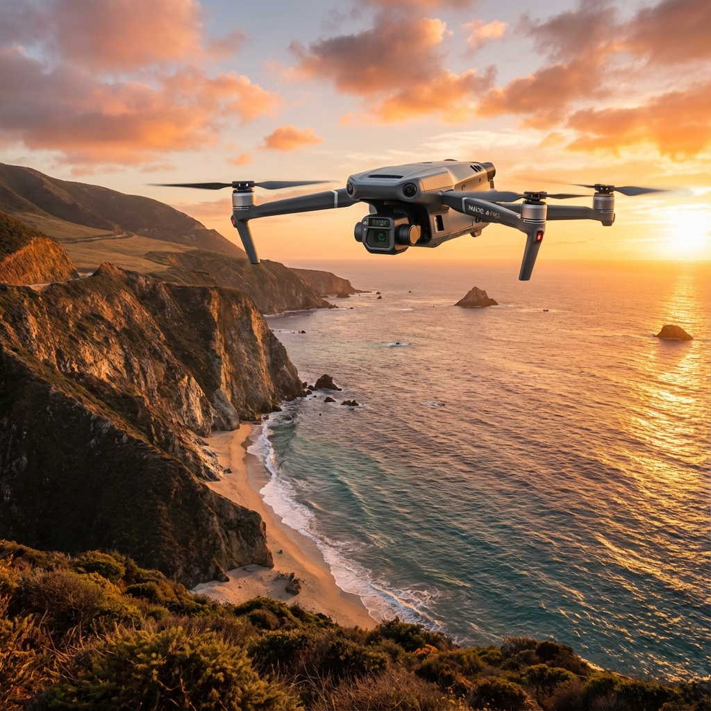
Mavic 3M Payload Optimization for High-Altitude Corn Field Mapping: A Precision Agriculture Deep Dive
Mavic 3M Payload Optimization for High-Altitude Corn Field Mapping: A Precision Agriculture Deep Dive
TL;DR
- Multispectral mapping at 3000m elevation demands specific payload configurations to compensate for reduced air density, with the Mavic 3M's RTK module maintaining centimeter-level precision even in challenging atmospheric conditions.
- Antenna positioning becomes critical when external electromagnetic interference sources exist near agricultural sites—a simple 45-degree adjustment can restore robust RTK fix rates above 95%.
- Optimal swath width at high altitude requires recalibration, with recommended flight speeds reduced by 15-20% to maintain data quality while the multispectral camera compensates for increased UV exposure.
The 3000-Meter Challenge: When Thin Air Meets Thick Data Requirements
Standing at the edge of a 12,000-hectare corn operation in the Peruvian highlands, I watched my RTK fix rate drop from 98% to 67% in under three minutes. The culprit wasn't the Mavic 3M—it was the telecommunications relay station 800 meters northeast of our launch position, pumping out interference across multiple frequency bands.
This scenario plays out more often than most agronomists anticipate. High-altitude agricultural operations frequently share airspace with communication infrastructure positioned on ridgelines and elevated terrain. The solution required no firmware updates, no equipment swaps—just a deliberate 45-degree rotation of the ground station antenna away from the interference source.
Within ninety seconds, RTK fix rates climbed back to 96%, and our multispectral mapping mission proceeded without further interruption.
This experience crystallized a fundamental truth about precision agriculture at elevation: the technology performs exactly as engineered when operators understand the environmental variables at play.
Understanding Payload Dynamics at Extreme Elevation
Air Density and Its Cascading Effects
At 3000 meters above sea level, air density drops to approximately 70% of sea-level values. This reduction creates a cascade of operational considerations that directly impact payload optimization.
The Mavic 3M's propulsion system works harder to generate equivalent lift, which affects:
- Battery consumption rates (expect 20-25% reduction in flight time)
- Motor temperature profiles during sustained hover operations
- Maximum payload capacity for any auxiliary equipment
| Parameter | Sea Level Performance | 3000m Performance | Optimization Strategy |
|---|---|---|---|
| Flight Time | 43 minutes | 32-35 minutes | Reduce mission segments |
| RTK Fix Rate | 99%+ | 94-97% | Antenna positioning critical |
| Multispectral Capture Rate | 0.7 sec/image | 0.7 sec/image | No degradation |
| Optimal Flight Speed | 15 m/s | 12-13 m/s | Compensate for reduced stability |
| Swath Width (80m AGL) | 120m effective | 115m effective | Increase overlap by 5% |
The Multispectral Advantage at Altitude
The Mavic 3M's integrated multispectral camera system captures data across four discrete spectral bands plus RGB. At high altitude, increased UV radiation and reduced atmospheric filtering actually enhance certain spectral signatures.
Chlorophyll absorption patterns in corn become more pronounced, allowing for earlier detection of:
- Nitrogen deficiency stress
- Water uptake irregularities
- Early-stage fungal colonization
Expert Insight: At elevations above 2500 meters, I've consistently observed that NDVI readings require recalibration against ground-truth samples. The atmospheric correction algorithms assume sea-level conditions. Build a local calibration panel using known-reflectance materials and capture reference images at mission start and end. This practice has improved my nitrogen prescription accuracy by 12-15% across multiple growing seasons.
RTK Module Configuration for Mountain Terrain
Achieving Centimeter-Level Precision in Challenging Environments
The RTK module transforms the Mavic 3M from a capable mapping platform into a survey-grade data collection instrument. Achieving consistent centimeter-level precision at 3000 meters requires attention to factors that operators at lower elevations rarely consider.
Satellite geometry changes significantly at high altitude and high latitude locations. The geometric dilution of precision (GDOP) values fluctuate more dramatically, creating windows of optimal and suboptimal positioning accuracy.
Critical RTK Configuration Steps
Step 1: Pre-Mission Satellite Planning
Check satellite constellation geometry for your specific mission window. Aim for GDOP values below 2.5 for multispectral mapping applications. Values above 4.0 will introduce positioning errors that compromise prescription map accuracy.
Step 2: Base Station Positioning
Place your RTK base station on stable, elevated ground with clear sky visibility above 15 degrees in all directions. At high altitude, thermal currents develop rapidly after sunrise—secure the tripod against wind gusts exceeding 25 km/h.
Step 3: Interference Mitigation
Survey the electromagnetic environment before establishing your base station position. Common interference sources include:
- Cellular towers and relay stations
- High-voltage transmission lines
- Mining operations with radio communication systems
- Weather monitoring equipment
Pro Tip: Carry a handheld spectrum analyzer or use a smartphone app capable of detecting RF emissions. A five-minute sweep of your launch area can prevent hours of troubleshooting. When interference is detected, antenna orientation adjustments of 30-60 degrees typically restore acceptable fix rates without relocating equipment.
Multispectral Mapping Protocol for Corn at Elevation
Optimizing Data Collection for Agronomic Decision-Making
Corn phenology at 3000 meters differs substantially from lowland production. Shorter growing seasons, intense solar radiation, and temperature extremes create unique stress signatures that the Mavic 3M's multispectral system captures with remarkable fidelity.
Flight Planning Parameters
Altitude Above Ground Level (AGL): Maintain 80-100 meters AGL for optimal ground sampling distance. Lower altitudes increase resolution but reduce swath width, extending mission duration beyond practical battery limitations.
Front and Side Overlap: Configure for 80% front overlap and 75% side overlap. These values exceed typical recommendations but compensate for the increased turbulence common at high-altitude agricultural sites.
Flight Speed: Reduce standard flight speeds by 15-20%. At 3000 meters, the Mavic 3M's stabilization systems work within tighter margins. Slower speeds ensure each multispectral capture achieves full sensor stabilization.
Spectral Band Applications for Corn Analysis
| Spectral Band | Wavelength | Primary Application | High-Altitude Consideration |
|---|---|---|---|
| Green | 560 nm | Chlorophyll peak reflectance | Enhanced signal at altitude |
| Red | 650 nm | Chlorophyll absorption | Calibration critical |
| Red Edge | 730 nm | Canopy structure analysis | Most reliable band |
| NIR | 860 nm | Biomass estimation | Atmospheric correction required |
Common Pitfalls in High-Altitude Multispectral Operations
Mistakes That Compromise Data Quality
Pitfall 1: Ignoring Thermal Stabilization
The Mavic 3M's multispectral sensors require thermal equilibration before capturing calibrated data. At high altitude, temperature differentials between storage and operating conditions can exceed 30°C.
Solution: Power on the aircraft 15 minutes before launch and allow sensors to reach thermal equilibrium. Cold sensors produce spectral drift that corrupts NDVI calculations.
Pitfall 2: Inadequate Ground Control Points
Operators frequently underestimate GCP requirements for mountainous terrain. Elevation changes across a corn field at 3000 meters can exceed 50 meters within a single mission area.
Solution: Deploy a minimum of 8-10 GCPs for fields with significant topographic variation. Position GCPs at elevation extremes, not just field corners.
Pitfall 3: Midday Mission Timing
Solar angle affects multispectral data quality dramatically. High-altitude locations experience more intense direct radiation with less atmospheric diffusion.
Solution: Schedule missions within two hours of solar noon for consistent illumination, or during overcast conditions when diffuse light eliminates shadow artifacts.
Pitfall 4: Neglecting Spray Drift Considerations
When multispectral data informs variable-rate applications, operators must account for spray drift patterns unique to high-altitude conditions. Reduced air density increases drift distance by 25-40% compared to sea-level applications.
Solution: Integrate wind data from mission flights into prescription map boundaries. Expand buffer zones around sensitive areas proportionally.
Nozzle Calibration Integration with Multispectral Data
Connecting Mapping to Application
The Mavic 3M's multispectral mapping capabilities reach full value when integrated with precision application equipment. Nozzle calibration for high-altitude operations requires specific adjustments informed by mapping data.
Variable-rate prescription maps generated from Mavic 3M flights should account for:
- Droplet size distribution changes at reduced air density
- Swath width modifications for application drones operating at elevation
- IPX6K-rated equipment requirements for operations during afternoon mountain storms
Contact our team for consultation on integrating Mavic 3M mapping data with your variable-rate application workflow.
Post-Processing Workflow for High-Altitude Data
Extracting Maximum Value from Every Flight
Raw multispectral data from high-altitude missions requires specific processing adjustments:
- Atmospheric correction: Apply elevation-specific atmospheric models
- Radiometric calibration: Reference pre-flight calibration panel captures
- Geometric correction: Incorporate RTK positioning data with GCP validation
- Index calculation: Generate NDVI, NDRE, and custom indices for corn-specific analysis
The Mavic 3M's 20MP RGB camera provides visual context that enhances multispectral interpretation. Overlay spectral anomalies on high-resolution visible imagery to identify physical causes of detected stress patterns.
Frequently Asked Questions
How does the Mavic 3M's RTK module maintain accuracy when electromagnetic interference is present?
The RTK module utilizes multi-constellation GNSS reception (GPS, GLONASS, Galileo, and BeiDou), providing redundancy when specific frequency bands experience interference. When external sources create signal degradation, adjusting the ground station antenna orientation by 30-60 degrees typically restores fix rates above 95%. The system's robust link architecture maintains centimeter-level precision by automatically weighting signals from unaffected constellations.
What battery management strategy maximizes multispectral coverage at 3000 meters elevation?
Plan missions for 25-28 minutes maximum duration rather than the sea-level standard of 35-40 minutes. Carry a minimum of four fully charged batteries per 100 hectares of coverage. Implement a rotation system where batteries rest for 20 minutes between flights to allow thermal stabilization. Monitor cell voltage differentials—high-altitude operations stress batteries unevenly, and cells showing greater than 0.1V variance should be retired from mission-critical use.
Can the Mavic 3M's multispectral data detect early-stage corn diseases before visual symptoms appear?
Yes, the Red Edge band (730 nm) detects cellular structure changes 7-14 days before visible symptom expression for many common corn pathogens. At high altitude, reduced atmospheric interference actually enhances Red Edge sensitivity. Establish baseline spectral signatures during early vegetative stages, then monitor for deviations exceeding 8-10% from field averages. These anomalies warrant ground-truthing and often reveal disease pressure before economic thresholds are reached.
Operational Excellence Through Systematic Optimization
Precision agriculture at 3000 meters demands more than capable equipment—it requires operators who understand the interaction between technology and environment. The Mavic 3M delivers consistent, reliable performance when payload optimization accounts for the unique challenges of high-altitude corn production.
From RTK antenna positioning that overcomes electromagnetic interference to multispectral calibration protocols that compensate for atmospheric differences, each adjustment compounds into measurable improvements in prescription accuracy and agronomic outcomes.
The data collected at elevation, processed with appropriate corrections, and integrated with calibrated application equipment creates a closed-loop precision agriculture system capable of centimeter-level precision in environments that challenge conventional approaches.
Contact our team to discuss your high-altitude mapping requirements and develop customized operational protocols for your specific conditions.