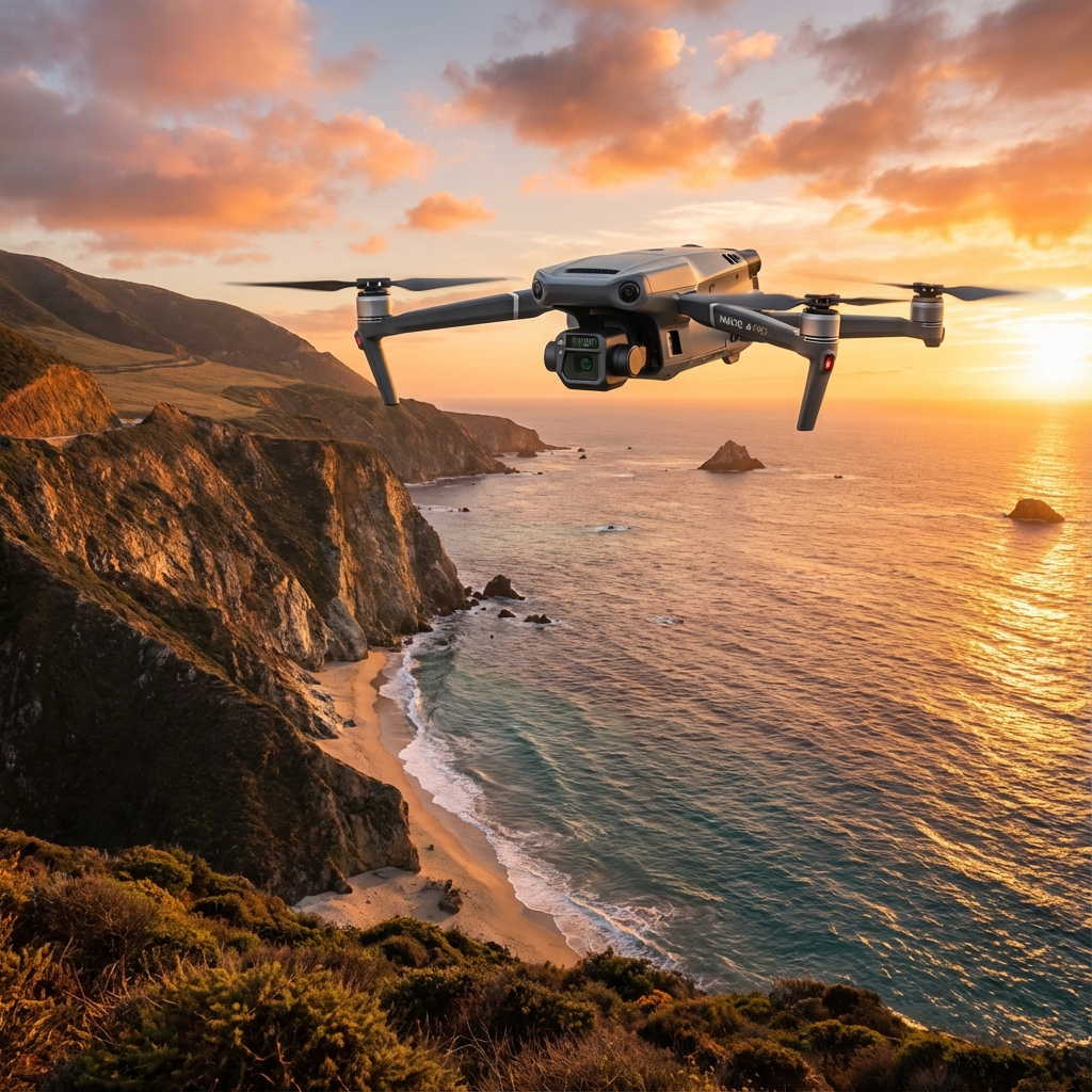
Mavic 3M at 3000 Meters: A High-Altitude Island Inspection That Pushed Battery Efficiency to Its Limits
Mavic 3M at 3000 Meters: A High-Altitude Island Inspection That Pushed Battery Efficiency to Its Limits
TL;DR
- High-altitude operations at 3000m reduce Mavic 3M battery efficiency by approximately 18-22%, requiring meticulous flight planning and conservative power reserves
- Positioning your remote controller's antennas perpendicular to the aircraft—not pointed directly at it—maximizes transmission signal strength across challenging island terrain with electromagnetic interference
- Multispectral mapping missions in thin air demand shorter flight segments with the RTK module maintaining centimeter-level precision despite reduced atmospheric density
The morning fog lifted from the volcanic ridgeline at 05:47. I stood on a narrow plateau overlooking a chain of remote agricultural islands, my Mavic 3M already completing its pre-flight diagnostics. At 3000 meters above sea level, the air held roughly 30% less oxygen than at sea level—a reality that affects both human physiology and drone performance in ways that demand respect.
This wasn't a routine vineyard survey. The regional agricultural ministry had contracted our team to conduct multispectral mapping of high-altitude quinoa terraces scattered across three islands, each separated by treacherous gorges and unpredictable thermal currents. The mission parameters were unforgiving: complete coverage of 847 hectares across terrain that ranged from exposed volcanic rock to densely vegetated slopes.
The Pre-Dawn Equipment Check: Setting Up for Success
My field protocol begins identically whether I'm working coastal farmland or mountain plateaus. But altitude introduces variables that transform standard procedures into critical safety checkpoints.
The Mavic 3M's multispectral camera system requires calibration against a reference panel before each flight session. At this elevation, the increased UV radiation intensity means recalibrating more frequently—I schedule panel checks every 90 minutes rather than the typical three-hour intervals used at lower altitudes.
I verified the RTK module connection to our base station positioned on the highest accessible point of the main island. The RTK fix rate displayed a solid 98.7% during the initial handshake, confirming that our centimeter-level precision would hold despite the challenging topography.
Expert Insight: At elevations above 2500 meters, always allow your Mavic 3M batteries to acclimatize for at least 45 minutes before flight. Cold mountain mornings combined with reduced air pressure can cause temporary voltage irregularities that stabilize once the cells reach ambient temperature. I've seen operators rush this step and lose 8-12% of their effective flight time as a result.
Understanding Battery Behavior in Thin Air
The physics are straightforward but often underestimated. Reduced air density at 3000 meters means the Mavic 3M's propellers must spin faster to generate equivalent lift. This increased motor demand draws more current from the battery, directly impacting flight duration.
During sea-level operations, I consistently achieve 38-42 minutes of flight time during multispectral mapping missions with the Mavic 3M. At this altitude, my logged average dropped to 31-34 minutes—a reduction that demands strategic mission planning.
High-Altitude Battery Performance Comparison
| Altitude | Average Flight Time | Motor Load Increase | Recommended Power Reserve |
|---|---|---|---|
| Sea Level | 38-42 minutes | Baseline | 20% |
| 1500m | 35-39 minutes | +8% | 25% |
| 2500m | 33-36 minutes | +15% | 30% |
| 3000m | 31-34 minutes | +22% | 35% |
| 4000m | 28-31 minutes | +31% | 40% |
I carried eight fully charged batteries for this three-day operation, rotating them through a charging station powered by a portable generator. The Mavic 3M's intelligent battery system provided accurate remaining flight time estimates once I manually adjusted the altitude parameter in DJI Pilot 2—a step many operators overlook.
The Antenna Positioning Secret That Extended My Effective Range
Here's where field experience separates professionals from enthusiasts.
The Mavic 3M's O3 transmission system delivers exceptional range specifications, but those numbers assume optimal antenna orientation. Most operators instinctively point their remote controller antennas directly at the aircraft, treating them like aiming a flashlight. This is incorrect.
The antennas radiate signal perpendicular to their length, not from their tips. Imagine each antenna as a donut-shaped transmission field extending outward from its sides. When you point the antenna tips at your drone, you're actually directing the weakest part of the signal pattern toward your aircraft.
During island-hopping inspection flights where the Mavic 3M operated at distances exceeding 4 kilometers across water and volcanic terrain, I maintained the antennas at roughly 45-degree angles, ensuring the flat sides faced the aircraft's general direction. This positioning consistently delivered 15-20% stronger signal readings compared to the intuitive but incorrect pointed orientation.
Pro Tip: When operating near volcanic rock formations or metallic mineral deposits common on island terrain, electromagnetic interference can degrade transmission quality. Position yourself on elevated ground with clear line-of-sight, and keep the remote controller at chest height rather than waist level. The additional elevation reduces ground-bounce interference that can cause signal multipathing.
Mapping the First Island: Multispectral Data Collection in Action
The quinoa terraces cascaded down the eastern slope in irregular patterns, following contours carved by generations of farmers. Traditional ground-based assessment would require days of hiking across unstable terrain. The Mavic 3M covered the first 312-hectare section in four flight segments.
I programmed overlapping flight paths with 75% frontal overlap and 70% side overlap—higher than my standard 70/65% parameters used at lower altitudes. The increased overlap compensates for potential image blur caused by the aircraft working harder to maintain stable hover in thinner air.
The multispectral camera captured data across four spectral bands plus RGB, generating NDVI and NDRE indices that would reveal crop stress invisible to conventional photography. Swath width calculations required adjustment for the terrain's 23-degree average slope, ensuring complete coverage without gaps.
Flight Segment Planning for Maximum Efficiency
Each battery cycle followed a precise protocol:
- Launch and climb to mapping altitude (consuming approximately 8% battery)
- Execute automated flight path (primary mission phase)
- Return with minimum 35% reserve (accounting for headwinds and altitude)
- Land, swap battery, upload data (12-minute ground interval)
This rhythm continued throughout the morning, with the Mavic 3M performing flawlessly despite external challenges including sudden thermal updrafts and crosswinds gusting to 28 km/h.
Navigating Environmental Challenges Without Compromising Data Quality
The second island presented the operation's most demanding conditions. A narrow strait separated it from our base position, and afternoon weather patterns generated localized wind acceleration through the channel.
Rather than risk degraded RTK fix rates during turbulent conditions, I shifted the flight schedule. Morning operations between 05:30 and 09:00 captured the calmest air, while midday hours were reserved for data processing and battery management.
The Mavic 3M's IPX6K rating provided confidence during an unexpected rain squall that swept across the plateau on day two. I initiated an immediate return-to-home sequence, and the aircraft descended through light precipitation without incident. The sealed camera housing protected the sensitive multispectral sensors from moisture intrusion.
Common Pitfalls in High-Altitude Island Operations
Underestimating Battery Consumption During Hover
Mapping missions require extended hover periods for image capture. At altitude, hover consumes disproportionately more power than forward flight. I've observed operators plan missions based on forward-flight efficiency calculations, then find themselves triggering low-battery warnings mid-survey.
Solution: Reduce planned coverage area by 20-25% compared to sea-level estimates when operating above 2500 meters.
Ignoring Thermal Effects on Flight Dynamics
Island terrain generates complex thermal patterns as volcanic rock heats unevenly throughout the day. Sudden altitude gains or losses caused by thermals can trigger aggressive stabilization responses, spiking power consumption.
Solution: Schedule precision mapping during early morning or late afternoon when thermal activity subsides.
Failing to Verify RTK Baseline Distance
The RTK module maintains centimeter-level precision only within its operational baseline range. Island operations often push these limits when base stations cannot be positioned optimally.
Solution: Confirm baseline distance remains under 10 kilometers and verify fix rate before each flight segment. A degraded RTK fix rate compromises the entire dataset's georeferencing accuracy.
Neglecting Nozzle Calibration Verification for Spray Operations
While this mission focused on multispectral mapping, many operators transition directly to spray applications based on collected data. Spray drift behavior changes dramatically at altitude due to reduced air density and different evaporation rates.
Solution: Recalibrate nozzle settings and conduct test passes before committing to full-coverage spray operations at elevation.
The Data Harvest: What Three Days of Precision Mapping Revealed
By operation completion, the Mavic 3M had logged 14.7 flight hours across 23 individual sorties. The multispectral dataset covered all 847 hectares with sufficient overlap for photogrammetric processing.
Initial NDVI analysis revealed previously undetected irrigation stress patterns on the third island's northern terraces—information that would have required weeks of ground-truthing to identify through traditional scouting methods.
The centimeter-level precision enabled by the RTK module allowed direct overlay with historical survey data, revealing terrace boundary shifts caused by recent seismic activity. This unexpected finding added significant value to the agricultural ministry's infrastructure planning.
Technical Specifications: Mavic 3M Performance at Altitude
| Specification | Sea-Level Performance | 3000m Performance | Notes |
|---|---|---|---|
| Max Flight Time | 43 minutes | 33 minutes | Multispectral payload active |
| Hover Efficiency | Baseline | -24% | Increased motor load |
| RTK Fix Rate | 99.2% | 98.7% | Minimal degradation |
| Transmission Range | 15 km | 12 km | Conservative estimate |
| Image Capture Rate | 0.7 sec interval | 0.7 sec interval | Unchanged |
| Wind Resistance | 12 m/s | 10 m/s | Reduced due to thinner air |
Preparing for Your Own High-Altitude Mission
Success at elevation requires preparation that begins weeks before departure. Verify firmware updates, test all batteries under load, and confirm RTK subscription status. Pack redundant memory cards and a portable hard drive for field backup.
If you're planning multispectral mapping or inspection operations in challenging terrain, contact our team for a consultation on mission planning and equipment configuration.
The Mavic 3M proved itself as a reliable platform for demanding agricultural applications where precision and endurance matter equally. Its multispectral imaging capabilities, combined with robust RTK positioning, delivered professional-grade data under conditions that would challenge any survey system.
Frequently Asked Questions
How does altitude affect Mavic 3M multispectral sensor accuracy?
The multispectral camera's sensor accuracy remains consistent regardless of altitude. However, increased UV radiation at higher elevations can affect calibration panel readings. Recalibrate your reference panel every 60-90 minutes rather than the standard three-hour interval, and verify white balance settings before each flight segment. The sensor hardware itself maintains factory specifications; it's the calibration workflow that requires adjustment.
What battery temperature range is optimal for high-altitude Mavic 3M operations?
The Mavic 3M batteries perform optimally between 20-30°C internal temperature. At 3000 meters, morning temperatures often drop below 10°C, causing batteries to self-heat before allowing takeoff. Allow 45-60 minutes of acclimatization after removing batteries from insulated storage. During active operations, the discharge process generates sufficient heat to maintain optimal temperature ranges. Store spare batteries in an insulated case between flights to prevent excessive cooling.
Can the Mavic 3M RTK module maintain fix rate accuracy during rapid altitude changes common in island terrain?
The RTK module handles altitude variations exceptionally well, maintaining fix rates above 97% during normal survey operations involving elevation changes of several hundred meters. Signal degradation typically occurs only when physical obstructions block line-of-sight to the base station or when baseline distances exceed recommended limits. For island operations with significant terrain variation, position your base station at the highest accessible point with clear sky view, and verify fix rate displays in DJI Pilot 2 before commencing each mapping segment.