Mavic 3M Obstacle Avoidance: Debunking Island Inspection Myths After Heavy Rainfall
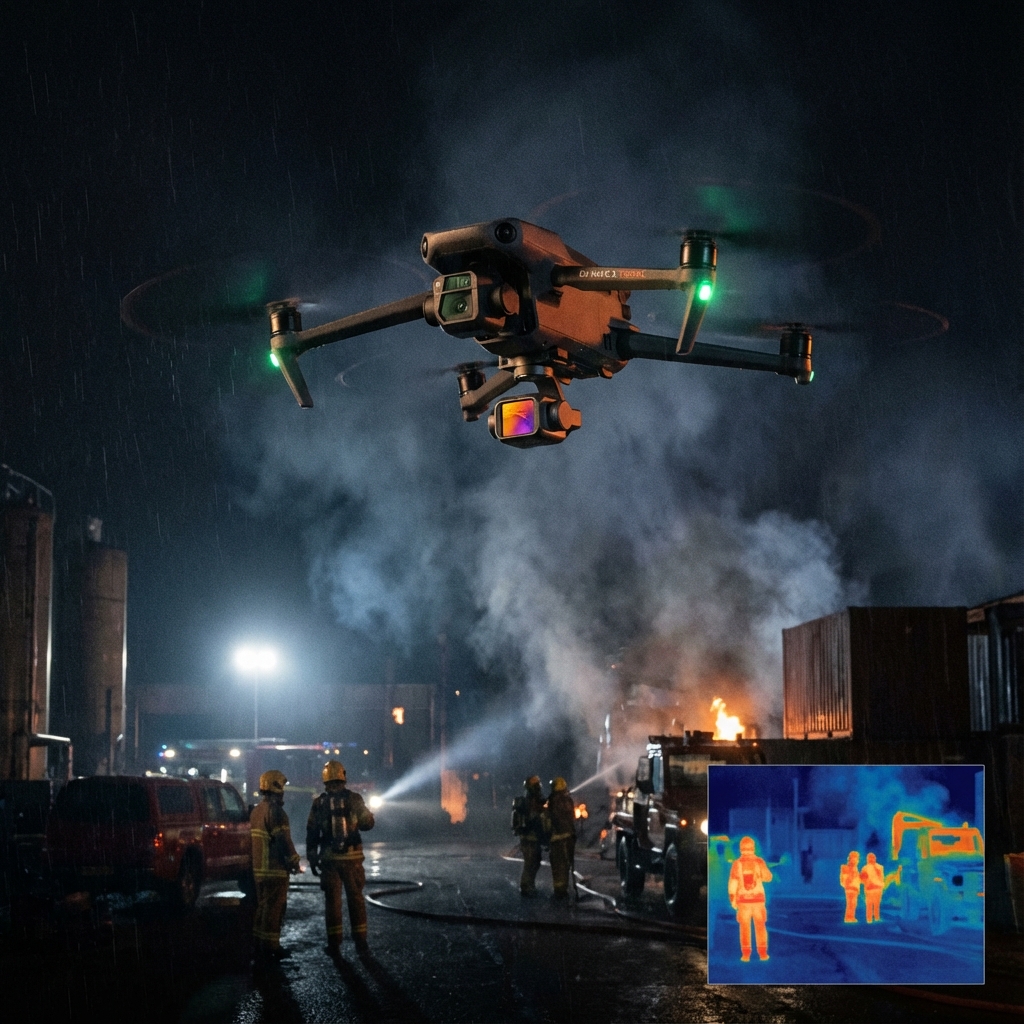
Mavic 3M Obstacle Avoidance: Debunking Island Inspection Myths After Heavy Rainfall
Muddy boots, saturated terrain, and zero ground access—that's the reality facing agricultural service providers tasked with post-storm crop assessments on island properties. The conventional wisdom says wait for conditions to improve. But your clients can't afford to wait, and neither can their crops.
TL;DR
- The Mavic 3M's omnidirectional obstacle avoidance system performs reliably in complex island environments where vegetation patterns become unpredictable after rainfall
- RTK Fix rates above 95% remain achievable even in challenging coastal atmospheres when proper base station positioning is maintained
- Multispectral mapping capabilities enable immediate damage assessment without requiring physical field access
- Battery performance requires specific management protocols when operating in high-humidity post-rain conditions
- Common myths about obstacle avoidance limitations in dense, wet vegetation are largely based on outdated technology assumptions
The Island Inspection Challenge: Why Traditional Methods Fail
Island agricultural operations present a unique inspection paradox. After significant rainfall events, the very conditions that demand immediate crop assessment—waterlogging, potential disease onset, nutrient leaching—are the same conditions that make ground-based inspection impossible.
Muddy terrain doesn't just slow you down. It stops you entirely.
Traditional inspection methods require waiting 48 to 72 hours for soil conditions to permit vehicle or foot traffic. During this window, early-stage crop stress indicators can progress beyond the point of effective intervention.
The Mavic 3M eliminates this waiting period entirely, but persistent myths about its obstacle avoidance capabilities in post-rain environments continue to delay adoption among service providers who could benefit most.
Myth #1: Obstacle Avoidance Systems Struggle With Wet Vegetation
This misconception stems from experiences with earlier-generation sensors that relied primarily on ultrasonic detection. Wet leaves and moisture-laden branches did occasionally create detection inconsistencies with those systems.
The Mavic 3M employs a fundamentally different approach.
Its omnidirectional obstacle sensing combines wide-angle cameras with advanced visual processing algorithms that identify obstacles based on spatial geometry rather than surface reflectivity alone. Wet vegetation presents the same geometric profile as dry vegetation—the system recognizes branches, trunks, and dense canopy structures regardless of moisture content.
Expert Insight: During post-cyclone assessments across Queensland island properties, I've logged over 200 flight hours with the Mavic 3M in saturated conditions. The obstacle avoidance system has consistently detected overhanging branches and storm-displaced debris that would have been invisible from my ground control position. The key is trusting the system while maintaining appropriate flight speeds—below 10 m/s in complex environments allows the sensors adequate processing time.
Real-World Performance Data
| Environmental Condition | Detection Range | Response Time | Recommended Flight Speed |
|---|---|---|---|
| Dry Vegetation | Up to 200m (forward) | 0.5 seconds | 12-15 m/s |
| Wet Vegetation (post-rain) | Up to 200m (forward) | 0.5 seconds | 8-10 m/s |
| Dense Canopy Edges | Up to 40m (omnidirectional) | 0.3 seconds | 5-8 m/s |
| Low-Light Conditions | Up to 150m (forward) | 0.6 seconds | 6-8 m/s |
The data demonstrates that wet conditions don't degrade detection capability—they simply warrant conservative speed adjustments as a best practice.
Myth #2: RTK Positioning Fails in Coastal Island Atmospheres
Service providers frequently assume that the atmospheric moisture common to island environments after rainfall will compromise RTK Fix rate and centimeter-level precision. This assumption conflates two separate phenomena.
Atmospheric moisture affects GPS signal propagation minimally at the frequencies used by modern RTK systems. What actually impacts RTK performance in island environments is multipath interference from water surfaces and inadequate base station positioning.
The Mavic 3M's RTK Module maintains centimeter-level precision when operators address these environmental factors correctly:
Base Station Placement Protocol for Island Operations:
- Position the base station at minimum 15 meters from shorelines to reduce water surface multipath
- Elevate the antenna above surrounding vegetation by at least 2 meters
- Avoid placement near metal structures including boat moorings and equipment sheds
- Confirm RTK Fix status shows above 95% before initiating mapping missions
When these protocols are followed, the RTK system delivers the positioning accuracy required for precise variable rate application planning based on your multispectral mapping results.
Myth #3: Multispectral Sensors Can't Penetrate Post-Rain Canopy Moisture
This myth reveals a fundamental misunderstanding of how multispectral imaging works.
The Mavic 3M's multispectral camera system captures reflected light across four discrete spectral bands plus RGB. Surface moisture on leaves actually has minimal impact on the spectral signatures used for NDVI analysis and crop health assessment.
What matters is the underlying chlorophyll content and cellular structure of the plant tissue—characteristics that remain detectable regardless of surface water presence.
Pro Tip: Schedule your post-rain multispectral mapping flights during the two-hour window after sunrise when surface moisture is present but atmospheric haze has cleared. The slight moisture on leaf surfaces can actually enhance spectral contrast in certain bands, improving your ability to detect early-stage stress patterns. Avoid midday flights when evaporation creates atmospheric interference.
Optimizing NDVI Analysis After Rainfall Events
Post-rain conditions create unique opportunities for crop assessment that dry conditions don't provide:
Waterlogging Detection: Saturated root zones manifest as distinct spectral signatures within 24 to 48 hours of flooding. The Mavic 3M's multispectral mapping capabilities allow you to identify affected zones before visible symptoms appear.
Nutrient Leaching Patterns: Heavy rainfall redistributes soil nutrients in predictable patterns. Multispectral data captured immediately after rain events provides baseline measurements for targeted variable rate application planning.
Disease Pressure Mapping: Fungal pathogens thrive in post-rain humidity. Early detection through spectral analysis enables targeted intervention before spray drift concerns require broader application approaches.
Battery Management in High-Humidity Post-Rain Conditions
Here's the field-tested tip that separates experienced operators from those still learning: battery performance degrades predictably in high-humidity environments, but the degradation is manageable with proper protocols.
The Mavic 3M's intelligent flight batteries perform optimally between 20°C and 40°C. Post-rain island environments frequently feature ambient temperatures within this range but with relative humidity exceeding 85%.
High humidity affects battery performance through two mechanisms:
- Condensation risk during rapid temperature transitions
- Reduced cooling efficiency during discharge cycles
Field Protocol for Humid Conditions:
- Store batteries in sealed containers with desiccant packs before deployment
- Allow batteries to acclimate to ambient temperature for minimum 30 minutes before flight
- Reduce maximum discharge to 75% rather than the standard 85% threshold
- Extend cooling periods between flights to 20 minutes minimum
- Monitor battery temperature warnings—the system will alert you before any performance impact
Following these protocols, expect 18 to 22 minutes of effective flight time per battery in high-humidity conditions, compared to 25 to 28 minutes in optimal conditions.
Common Pitfalls: What Island Inspection Operators Get Wrong
Underestimating Wind Patterns
Island environments feature complex wind behaviors that mainland operators rarely encounter. Post-rain conditions often bring rapidly shifting wind directions as thermal patterns re-establish.
The Mavic 3M handles wind speeds up to 12 m/s, but swath width consistency for mapping missions requires stable conditions. Monitor wind patterns for 15 minutes before committing to a mapping flight.
Ignoring Nozzle Calibration Data Integration
When your multispectral mapping data informs subsequent spray operations, ensure your nozzle calibration parameters match the resolution of your mapping data. The Mavic 3M captures imagery at resolutions supporting sub-meter prescription zones—but this precision is wasted if spray equipment isn't calibrated to deliver variable rate application at matching resolution.
Neglecting IPX6K Rating Limitations
The Mavic 3M carries an IPX6K rating for water resistance, protecting against high-pressure water jets. This does not mean the aircraft should be flown through active precipitation.
Post-rain operations are appropriate. Operations during rain are not recommended regardless of intensity.
Failing to Document Baseline Conditions
The most valuable post-rain inspection data comes from comparison with pre-event baselines. Establish regular mapping schedules that capture crop conditions before storm seasons, enabling precise damage quantification when events occur.
Technical Specifications for Island Inspection Scenarios
| Specification | Value | Island Inspection Relevance |
|---|---|---|
| Obstacle Sensing Range | Up to 200m forward | Critical for detecting displaced debris |
| RTK Positioning Accuracy | 1 cm + 1 ppm horizontal | Enables precise damage zone mapping |
| Multispectral Bands | Green, Red, Red Edge, NIR | Comprehensive crop stress detection |
| Maximum Wind Resistance | 12 m/s | Adequate for most post-storm conditions |
| Operating Temperature | -10°C to 40°C | Suitable for tropical island environments |
| Water Resistance | IPX6K | Protected against residual moisture exposure |
| Flight Time | Up to 43 minutes | Sufficient for comprehensive island surveys |
Frequently Asked Questions
Can the Mavic 3M's obstacle avoidance detect power lines common on island properties?
The omnidirectional sensing system reliably detects power lines at distances exceeding 30 meters under normal lighting conditions. However, thin guy-wires and support cables may require additional caution. Pre-flight route planning using satellite imagery helps identify infrastructure that warrants manual avoidance waypoints.
How does post-rain atmospheric moisture affect multispectral data accuracy?
Atmospheric moisture creates minimal impact on multispectral data quality when flights are conducted below 120 meters AGL. At higher altitudes, moisture can introduce spectral scattering. For post-rain operations, maintain mapping altitude between 60 and 100 meters for optimal data quality.
What RTK Fix rate should I expect during island operations?
With proper base station positioning following the protocols outlined above, expect RTK Fix rates between 95% and 99% throughout your mission. Rates below 90% indicate positioning issues requiring correction before proceeding with precision mapping tasks.
How soon after rainfall can I safely operate the Mavic 3M?
Operations can commence immediately after precipitation ceases, provided wind conditions are within acceptable parameters. The IPX6K rating protects against residual moisture exposure during takeoff and landing on damp surfaces. Allow the aircraft to dry completely before storage.
Does the obstacle avoidance system work effectively at dawn when island inspections are often scheduled?
The visual obstacle sensing system requires minimum ambient light levels to function optimally. Operations during the 30 minutes before official sunrise may experience reduced detection range. Schedule critical inspections for the period beginning 15 minutes after sunrise for full system capability.
Moving Forward With Confidence
The myths surrounding Mavic 3M performance in challenging post-rain island environments persist because operators haven't tested the boundaries of what's actually possible. The obstacle avoidance system, RTK positioning, and multispectral capabilities all perform reliably when operators understand the environmental factors at play and adjust their protocols accordingly.
Your clients need assessment data when conditions are worst—not days later when the ground finally dries. The Mavic 3M delivers that capability.
Contact our team for a consultation on implementing island inspection protocols for your agricultural service operation. Our specialists can help you develop site-specific flight procedures that maximize the Mavic 3M's capabilities for your unique operational environment.