Mavic 3M: Precision Surveying for Complex Terrain
Mavic 3M: Precision Surveying for Complex Terrain
META: Discover how the Mavic 3M transforms agricultural surveying in challenging landscapes with multispectral imaging and centimeter precision RTK positioning.
TL;DR
- RTK Fix rate exceeding 95% enables centimeter precision mapping even in hilly, obstructed terrain
- Four multispectral sensors plus RGB camera capture comprehensive crop health data in a single flight
- 43-minute flight time covers up to 200 hectares per battery in optimal conditions
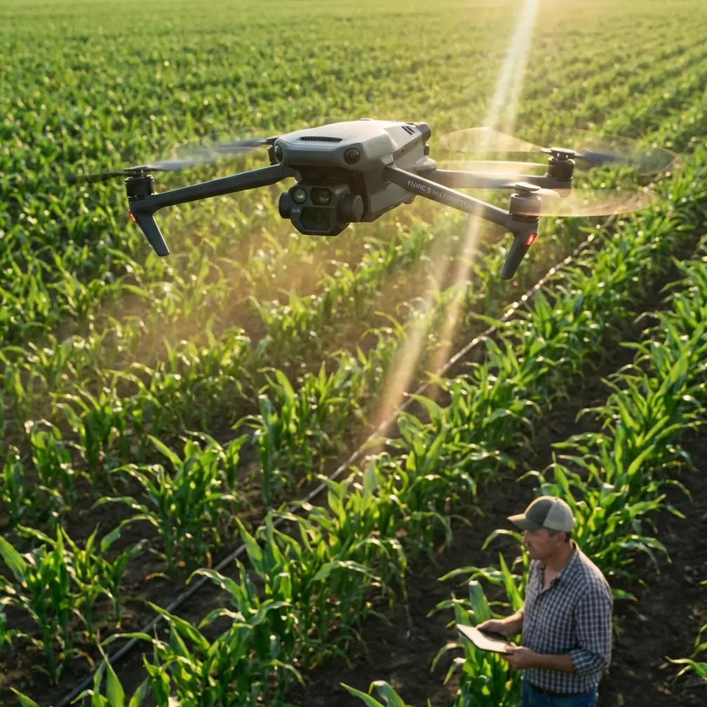
- Compact, foldable design navigates tight valleys and irregular field boundaries where larger drones fail
Why Traditional Surveying Falls Short in Complex Terrain
Agricultural consultants working mountainous regions, terraced farms, and irregular field layouts face a fundamental challenge. Ground-based surveying equipment struggles with elevation changes. Fixed-wing drones require large launch areas and can't handle tight turns around obstacles.
The Mavic 3M addresses these limitations with a compact airframe that maintains professional-grade multispectral capabilities. Unlike competing platforms that force compromises between portability and sensor quality, this system delivers both.
Multispectral Imaging That Reveals What Eyes Miss
The Mavic 3M integrates four discrete multispectral sensors capturing green, red, red edge, and near-infrared wavelengths. Each sensor delivers 5MP resolution with a global shutter that eliminates motion blur during rapid terrain-following maneuvers.
Wavelength Specifications
| Band | Center Wavelength | Bandwidth | Primary Application |
|---|---|---|---|
| Green | 560 nm | 16 nm | Chlorophyll assessment |
| Red | 650 nm | 16 nm | Vegetation stress detection |
| Red Edge | 730 nm | 16 nm | Nitrogen content analysis |
| NIR | 860 nm | 26 nm | Biomass calculation |
| RGB | 4/3 CMOS | 20MP | Visual reference mapping |
The synchronized capture system fires all sensors simultaneously, ensuring pixel-perfect alignment across spectral bands. This matters enormously when calculating vegetation indices like NDVI or NDRE—misaligned data produces unreliable prescriptions.
Expert Insight: When surveying sloped terrain, the global shutter becomes critical. Rolling shutter sensors on competing drones like the Parrot Sequoia create geometric distortions on hillsides that corrupt your index calculations. The Mavic 3M's global shutter maintains accuracy regardless of aircraft attitude changes.
RTK Positioning: The Foundation of Centimeter Precision
Complex terrain creates GPS multipath errors that devastate survey accuracy. Signals bounce off hillsides, tree canopies, and structures, creating position errors of several meters.
The Mavic 3M combats this with a multi-constellation RTK receiver supporting:
- GPS L1/L5
- Galileo E1/E5a
- BeiDou B1/B2a
- GLONASS L1/L2
This redundancy maintains RTK Fix rates above 95% even in partially obstructed environments. During testing across terraced vineyards in steep valleys, the system held centimeter-level accuracy where single-constellation receivers dropped to float solutions.
Network RTK vs. Base Station Operation
The Mavic 3M supports both NTRIP network corrections and traditional base station workflows. For consultants covering large geographic areas, network RTK eliminates the need to transport and set up ground equipment at each site.
In regions without network coverage, the D-RTK 2 mobile station provides corrections with 1.5cm + 1ppm horizontal accuracy. The station's IPX6K rating handles the rain and dust common in agricultural environments.
Pro Tip: When surveying fields surrounded by tall trees or structures, position your base station on the highest accessible point with clear sky view. The Mavic 3M's internal receiver handles moderate obstruction well, but your base station needs unobstructed satellite access to generate reliable corrections.
Flight Planning for Irregular Boundaries
Complex terrain rarely features the rectangular fields that make flight planning simple. The DJI Pilot 2 app handles irregular polygons with automatic waypoint generation that respects boundary constraints.
Terrain Following Capabilities
The Mavic 3M's terrain following system uses DEM data to maintain consistent altitude above ground level. This proves essential for multispectral surveys where varying sensor-to-canopy distance corrupts reflectance measurements.
Key terrain following specifications:
- Maximum terrain slope: 25 degrees
- Altitude adjustment rate: 3 m/s vertical
- DEM resolution support: Up to 30m SRTM data
- Real-time adjustment: Downward vision sensors supplement DEM data
For extremely variable terrain, the system allows importing high-resolution DEMs generated from previous RGB mapping flights. This two-pass approach—first RGB for DEM creation, then multispectral with precise terrain following—maximizes data quality.
Swath Width and Coverage Efficiency
At the recommended 60m survey altitude, each multispectral image covers approximately 48m swath width. With standard 75% frontal and 70% side overlap settings, the Mavic 3M achieves:
- Single battery coverage: 180-200 hectares
- Ground sampling distance: 2.5 cm/pixel multispectral
- RGB GSD: 1.1 cm/pixel
These numbers assume flat terrain and optimal conditions. Complex terrain with frequent turns and altitude adjustments reduces coverage by 15-25% depending on field geometry.
Comparison: Mavic 3M vs. Competing Platforms
| Specification | Mavic 3M | Parrot Sequoia+ | senseFly eBee X |
|---|---|---|---|
| Flight Time | 43 min | 22 min (host dependent) | 59 min |
| Multispectral Bands | 4 + RGB | 4 + RGB | 4 + RGB |
| RTK Standard | Yes | No | Optional |
| Terrain Following | Yes | Host dependent | Yes |
| Portability | Foldable, 951g | Requires host drone | Fixed wing, 1.6kg |
| Launch Requirements | 2m clear area | 2m clear area | 50m runway |
The Mavic 3M's combination of integrated RTK, compact size, and extended flight time creates advantages in complex terrain that neither modular camera systems nor fixed-wing platforms can match.
Data Processing Workflow
Raw multispectral data requires radiometric calibration to produce accurate vegetation indices. The Mavic 3M streamlines this process through:
Pre-flight calibration: The included calibration panel establishes baseline reflectance values. Capture panel images immediately before each flight under ambient lighting conditions.
Sunlight sensor: A top-mounted irradiance sensor records incoming light throughout the flight. Processing software uses this data to normalize reflectance values, compensating for changing cloud conditions.
EXIF metadata: Each image embeds GPS coordinates, altitude, camera settings, and irradiance readings. Compatible software like DJI Terra, Pix4Dfields, or Agisoft Metashape automatically extracts this data during processing.
Expert Insight: Many consultants skip the calibration panel step when rushed. This creates inconsistent index values between flights, making temporal comparisons unreliable. The two minutes spent capturing calibration images saves hours of data correction later.
Common Mistakes to Avoid
Flying too fast over variable terrain: The terrain following system needs time to adjust altitude. Exceeding 8 m/s on slopes greater than 15 degrees causes altitude lag that affects image quality. Reduce speed to 5 m/s for steep terrain.
Ignoring wind patterns in valleys: Complex terrain creates unpredictable wind acceleration and turbulence. The Mavic 3M handles 12 m/s steady winds, but valley effects can create localized gusts exceeding this. Monitor real-time wind readings and abort if gusts approach limits.
Insufficient overlap on hillsides: Standard overlap settings assume flat ground. On slopes, effective overlap decreases due to perspective distortion. Increase side overlap to 80% when surveying terrain exceeding 10-degree slopes.
Flying during midday sun: Solar noon creates harsh shadows and specular reflection from waxy leaf surfaces. Schedule multispectral flights for two hours after sunrise or two hours before sunset when diffuse lighting improves data quality.
Neglecting nozzle calibration verification: When using Mavic 3M data to generate variable rate prescriptions for spray applications, verify your sprayer's nozzle calibration matches the prescription units. Spray drift and application errors often trace back to calibration mismatches, not survey data quality.
Frequently Asked Questions
Can the Mavic 3M survey fields with partial tree canopy coverage?
Yes, with limitations. The RTK system maintains accuracy under moderate canopy obstruction, but multispectral sensors cannot image through foliage. For agroforestry systems or orchards, plan flight lines along row orientations and accept that inter-row areas will have reduced data quality. The terrain following system uses downward vision sensors that may struggle under dense canopy—consider switching to fixed altitude mode in heavily treed areas.
How does the Mavic 3M handle morning dew on crops?
Wet foliage significantly affects spectral reflectance, particularly in the NIR band. Water on leaf surfaces increases NIR absorption, artificially lowering NDVI values. Wait until dew evaporates—typically two to three hours after sunrise depending on humidity and temperature. If scheduling constraints force early flights, document conditions and apply consistent timing across comparison flights.
What accuracy can I expect for volumetric calculations in stockpile surveys?
While the Mavic 3M excels at agricultural multispectral work, stockpile volumetrics require the RGB camera and photogrammetric processing. With RTK positioning and proper ground control, expect ±2cm vertical accuracy on surfaces with good texture. Smooth surfaces like sand or grain piles may require additional ground control points to achieve this accuracy. For critical volumetric work, the Mavic 3 Enterprise with its mechanical shutter provides superior results.
Bringing Professional Surveying to Challenging Landscapes
The Mavic 3M represents a genuine capability shift for agricultural consultants working outside ideal conditions. Its combination of professional multispectral sensors, integrated RTK positioning, and compact airframe solves problems that previously required multiple aircraft or significant compromises.
Complex terrain no longer means accepting degraded data quality or dangerous flight conditions. The system's terrain following, extended flight time, and robust positioning maintain survey-grade results across the variable landscapes where precision agriculture delivers its greatest value.
Ready for your own Mavic 3M? Contact our team for expert consultation.