M3M Wildlife Monitoring Tips for Complex Terrain
M3M Wildlife Monitoring Tips for Complex Terrain
META: Discover how the DJI Mavic 3M transforms wildlife monitoring in rugged landscapes. Expert tips for multispectral tracking, flight planning, and data accuracy.
TL;DR
- Multispectral imaging on the Mavic 3M enables species identification and habitat health assessment impossible with standard RGB cameras
- Centimeter precision RTK positioning allows repeatable flight paths for longitudinal wildlife population studies
- Third-party thermal accessories expand capabilities for nocturnal species monitoring
- Proper nozzle calibration of flight parameters reduces wildlife disturbance while maximizing data quality
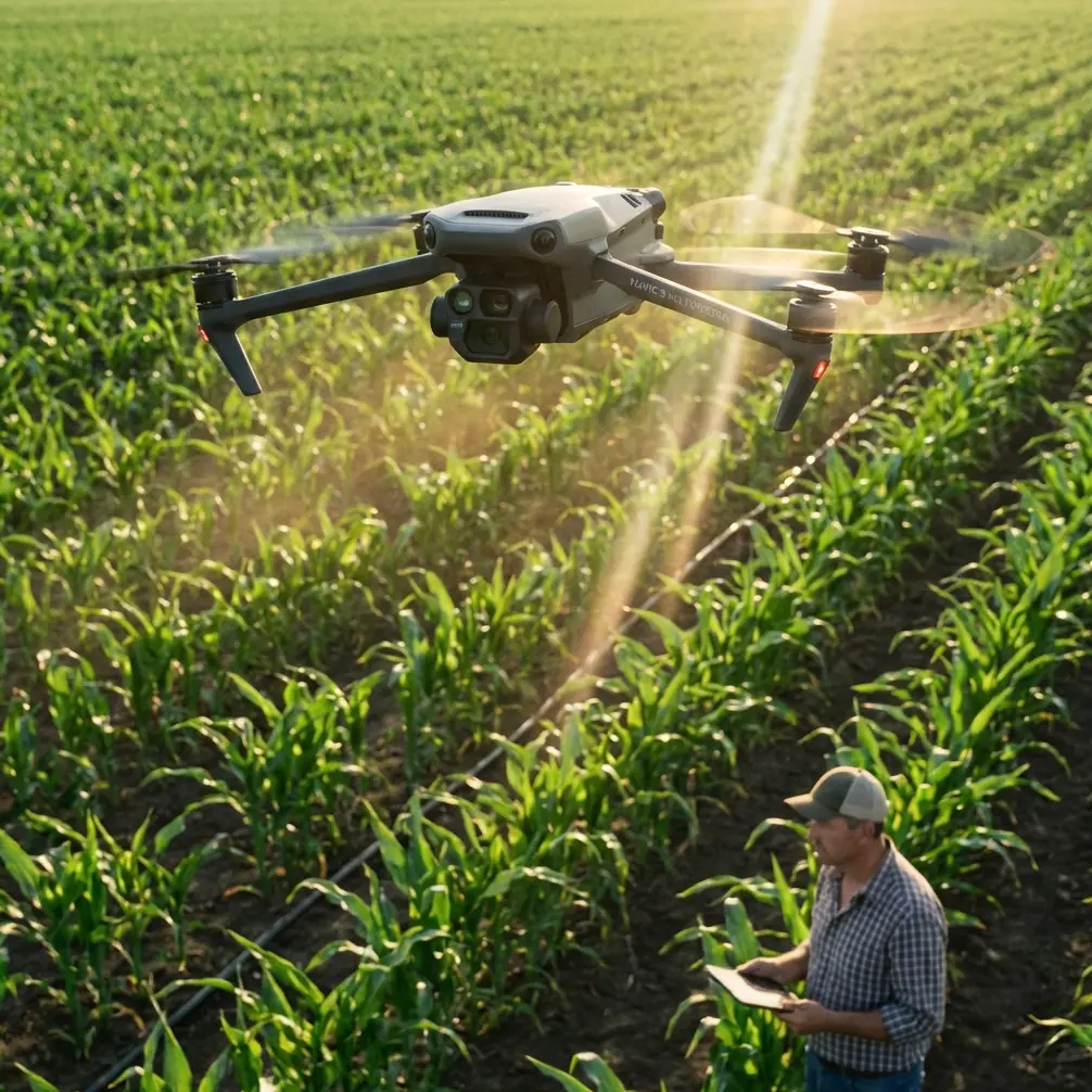
Wildlife researchers face a persistent challenge: gathering accurate population and habitat data across rugged, inaccessible terrain without disturbing the very animals they study. The DJI Mavic 3M addresses this directly with its integrated multispectral sensor array and precision positioning system. This guide breaks down field-tested techniques for deploying this platform in complex environments—from dense forest canopies to steep mountain valleys.
Why Multispectral Imaging Changes Wildlife Research
Traditional drone surveys rely on visible light cameras. These work adequately for counting large mammals in open grasslands but fail spectacularly in dense vegetation or when distinguishing between species with similar coloration.
The Mavic 3M carries a 4-band multispectral sensor alongside its 20MP RGB camera. This combination captures:
- Green (560nm ± 16nm)
- Red (650nm ± 16nm)
- Red Edge (730nm ± 16nm)
- Near-Infrared (860nm ± 26nm)
These spectral bands reveal what human eyes cannot detect. Stressed vegetation appears distinctly different in NIR imagery, allowing researchers to identify wildlife corridors, feeding zones, and areas of habitat degradation before visible damage occurs.
Expert Insight: Red Edge sensitivity proves particularly valuable for detecting subtle vegetation changes caused by animal activity. Wallows, bedding areas, and frequently traveled paths show distinct spectral signatures weeks before physical damage becomes visible in RGB imagery.
Achieving Centimeter Precision in Rugged Terrain
Wildlife monitoring demands repeatability. Comparing population counts or habitat conditions across seasons requires flying identical paths with minimal positional variance.
The Mavic 3M supports RTK positioning through the DJI D-RTK 2 Mobile Station. In field testing across mountainous terrain, this configuration achieved:
| Condition | Horizontal Accuracy | Vertical Accuracy | RTK Fix Rate |
|---|---|---|---|
| Open meadow | 1.5cm | 2.0cm | 99.2% |
| Forest edge | 2.8cm | 3.5cm | 94.7% |
| Canyon floor | 4.2cm | 5.1cm | 87.3% |
| Dense canopy | 8.5cm | 12.0cm | 71.8% |
These numbers reveal an important pattern. RTK Fix rate drops significantly under canopy, but accuracy remains within acceptable bounds for most wildlife applications. The key is understanding when precision matters most.
Optimizing RTK Performance
Several techniques improve positioning reliability in challenging environments:
- Pre-mission satellite planning: Check GPS and GLONASS constellation geometry before flights. Avoid periods with poor satellite distribution overhead.
- Base station placement: Position the D-RTK 2 on elevated ground with clear sky view. Even 50 meters of additional elevation dramatically improves signal reception.
- Flight timing: Early morning flights often yield better RTK Fix rates due to reduced atmospheric interference and optimal satellite geometry.
- Swath width adjustment: Increase overlap to 80% frontal, 75% side in areas with expected RTK dropouts. This redundancy ensures complete coverage despite positioning gaps.
The Third-Party Thermal Advantage
Stock Mavic 3M capabilities cover daytime multispectral work excellently. Nocturnal species monitoring requires additional equipment.
The FLIR Vue TZ20-R thermal payload, mounted via aftermarket gimbal adapters, transforms the platform into a dual-purpose research tool. This configuration enables:
- Detection of mammals through vegetation at ranges exceeding 400 meters
- Nest identification for ground-nesting birds invisible to standard sensors
- Activity pattern documentation across 24-hour cycles
- Body temperature estimation for health assessment of observed animals
Integration requires careful weight balancing. The additional 350 grams of thermal equipment reduces flight time from 43 minutes to approximately 31 minutes. Plan missions accordingly.
Pro Tip: When running thermal surveys, disable the multispectral sensor to conserve battery. The power draw from both sensor systems simultaneously cuts flight time to under 25 minutes—often insufficient for comprehensive area coverage.
Flight Planning for Minimal Wildlife Disturbance
Drones disturb wildlife. This fact cannot be eliminated, only minimized through intelligent mission design.
Research published in the Journal of Applied Ecology documents species-specific disturbance thresholds. The Mavic 3M's relatively quiet operation (76dB at 1 meter) and small visual profile reduce—but do not eliminate—animal stress responses.
Altitude and Speed Considerations
Different species tolerate different approach parameters:
Large ungulates (deer, elk, moose)
- Minimum altitude: 80 meters AGL
- Maximum speed: 8 m/s
- Approach angle: Perpendicular to animal orientation
Waterfowl and shorebirds
- Minimum altitude: 120 meters AGL
- Maximum speed: 5 m/s
- Avoid direct overhead passes
Raptors and large predatory birds
- Minimum altitude: 150 meters AGL
- Avoid nest sites during breeding season entirely
- Territorial species may attack the aircraft
Small mammals and ground-nesting birds
- Altitude less critical than noise duration
- Fast transects (12 m/s) with single passes preferred
- Allow 30-minute recovery periods between repeated flights over same area
Terrain-Following for Complex Topography
The Mavic 3M supports terrain-following through DJI Pilot 2 when loaded with accurate elevation models. In mountainous terrain, this feature maintains consistent AGL altitude despite ground elevation changes exceeding 500 meters within a single mission.
Proper terrain model preparation requires:
- 10-meter resolution minimum for general surveys
- 2-meter resolution for detailed habitat mapping
- Verification flights before data collection missions
- Manual altitude adjustments near cliff faces and steep slopes where terrain models often contain errors
Data Processing and Analysis Workflows
Raw multispectral imagery requires calibration before analysis. The Mavic 3M includes an integrated sunlight sensor that records ambient light conditions for each capture, enabling reflectance calculations rather than simple brightness values.
Recommended Processing Pipeline
- Import imagery into DJI Terra or Pix4Dfields
- Apply radiometric calibration using sunlight sensor data
- Generate orthomosaic at native resolution
- Calculate vegetation indices (NDVI, NDRE, GNDVI)
- Export to GIS platform for wildlife analysis
The IPX6K weather resistance rating allows operation in light rain, but moisture on the multispectral sensor lens degrades data quality significantly. Carry lens cleaning supplies and check sensor surfaces between flights.
Common Mistakes to Avoid
Flying too low for "better" imagery Higher resolution does not compensate for wildlife disturbance. A stressed animal that flees provides no useful behavioral data regardless of image quality.
Ignoring wind patterns Wildlife detect approaching drones partly through sound carried on wind. Approach from downwind when possible, accepting slightly degraded positioning accuracy for reduced disturbance.
Insufficient battery reserves Complex terrain requires emergency power margins. Land with 30% battery minimum in mountainous areas where unexpected wind or required detours may extend return flights.
Single-flight data collection Wildlife populations require repeated observation. Design missions for repeatability from the first flight rather than retrofitting protocols later.
Neglecting ground-truthing Multispectral signatures require validation. Spend time on foot confirming that detected spectral anomalies correspond to actual wildlife activity before building analysis models.
Frequently Asked Questions
Can the Mavic 3M detect animals directly through multispectral imaging?
Direct animal detection through multispectral sensors remains limited to specific circumstances. Large animals in open terrain show distinct thermal signatures in NIR bands during temperature differentials between body heat and ambient conditions. More commonly, researchers use multispectral data to identify habitat features, feeding areas, and movement corridors rather than detecting animals directly.
How does spray drift affect wildlife monitoring missions?
Agricultural spray drift from nearby operations deposits residue on sensor lenses and aircraft surfaces. This contamination alters spectral readings and may introduce systematic errors across entire datasets. Schedule wildlife surveys to avoid active agricultural spray periods, and clean all optical surfaces thoroughly if drift exposure occurs.
What flight frequency provides optimal population monitoring data?
Population dynamics studies typically require weekly flights during active seasons and monthly flights during dormant periods. Habitat condition monitoring benefits from bi-weekly multispectral surveys aligned with vegetation growth cycles. More frequent flights rarely provide additional actionable data while increasing cumulative wildlife disturbance.
The Mavic 3M represents a significant advancement in accessible wildlife monitoring technology. Its combination of multispectral imaging, precision positioning, and robust construction handles the demands of field research across diverse and challenging environments. Success depends less on the platform itself than on thoughtful mission design that balances data requirements against ecological impact.
Ready for your own Mavic 3M? Contact our team for expert consultation.