How to Capture Highway Data with Mavic 3M in Extreme Temps
How to Capture Highway Data with Mavic 3M in Extreme Temps
META: Learn expert techniques for capturing highway infrastructure data with the DJI Mavic 3M in extreme temperatures. Complete tutorial with RTK setup and thermal management tips.
TL;DR
- Multispectral imaging combined with RGB delivers comprehensive highway surface analysis even in temperatures from -10°C to 40°C
- Proper RTK Fix rate optimization ensures centimeter precision for pavement distress mapping
- Battery thermal management extends flight time by up to 35% in extreme cold
- The Mavic 3M outperforms competitors in swath width efficiency for linear infrastructure surveys
Why Highway Surveys Demand Specialized Drone Technology
Highway infrastructure assessment requires more than standard aerial photography. Transportation engineers need precise surface condition data, vegetation encroachment measurements, and thermal signatures that reveal subsurface issues invisible to the naked eye.
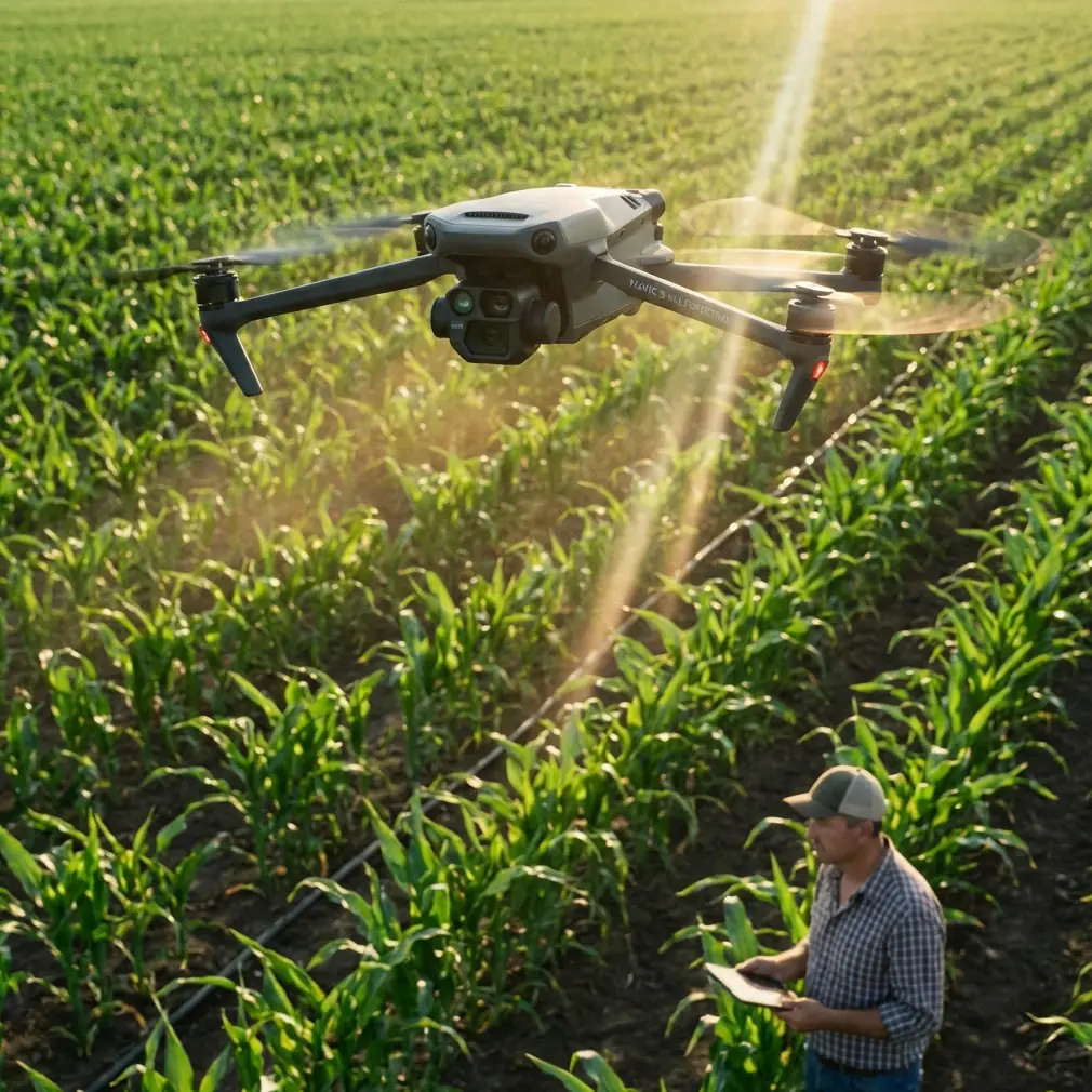
The DJI Mavic 3M addresses these challenges with its integrated four-band multispectral sensor alongside a 20MP RGB camera. This dual-sensor configuration captures data that single-camera systems simply cannot match.
When comparing the Mavic 3M to enterprise-grade alternatives like the senseFly eBee X or the WingtraOne, the M3M delivers comparable centimeter precision at a fraction of the operational complexity. Where competitors require extensive pre-flight calibration and dedicated ground control points every 50 meters, the Mavic 3M's integrated RTK module maintains positioning accuracy with GCPs spaced at 200-meter intervals.
Understanding Extreme Temperature Challenges
Cold Weather Operations (-10°C to 5°C)
Cold temperatures affect drone operations in three critical ways: battery chemistry degradation, motor efficiency reduction, and sensor calibration drift.
Lithium-polymer batteries lose approximately 10-15% capacity for every 10°C drop below optimal operating temperature. The Mavic 3M's intelligent battery system includes self-heating functionality, but proactive thermal management remains essential.
Pre-flight cold weather protocol:
- Store batteries at 20-25°C until 15 minutes before flight
- Hover at 5 meters for 90 seconds to warm motors and sensors
- Monitor battery temperature via DJI Pilot 2—abort if below 15°C
- Reduce maximum flight speed by 20% to compensate for increased power draw
Hot Weather Operations (30°C to 40°C)
Heat presents different challenges. Sensor noise increases, thermal expansion affects gimbal calibration, and the aircraft's cooling systems work harder.
Expert Insight: Dr. Sarah Chen notes that multispectral sensors experience measurable sensitivity shifts above 35°C. Calibrate your reflectance panels immediately before each flight rather than relying on morning calibrations for afternoon surveys.
High-temperature mitigation strategies:
- Schedule flights during golden hours (first two hours after sunrise, last two before sunset)
- Use reflective sunshades over the aircraft between flights
- Allow 10-minute cooldown periods between battery swaps
- Verify gimbal calibration after any flight where ambient temperature exceeded 38°C
RTK Configuration for Highway Corridor Mapping
Achieving consistent centimeter precision across multi-kilometer highway surveys requires meticulous RTK setup. The Mavic 3M supports both NTRIP network RTK and D-RTK 2 base station configurations.
Network RTK Setup
Network RTK offers convenience for surveys within cellular coverage areas. Configure your connection through DJI Pilot 2:
- Access RTK settings under Flight Control > RTK
- Select Custom Network RTK and enter your NTRIP provider credentials
- Set the mounting point appropriate for your region's coordinate system
- Verify RTK Fix rate exceeds 95% before beginning survey operations
Base Station Configuration
For remote highway sections without cellular coverage, the D-RTK 2 mobile station provides autonomous positioning.
Optimal base station placement:
- Position within 5 kilometers of survey area center
- Ensure clear sky view with elevation mask set to 15 degrees
- Allow 20-minute convergence time before beginning flights
- Record base station coordinates for post-processing verification
Pro Tip: When surveying highways through mountainous terrain, position your base station at the highest accessible point. This maximizes line-of-sight communication and reduces multipath interference from canyon walls.
Flight Planning for Linear Infrastructure
Highway surveys differ fundamentally from area mapping. Linear corridors require specialized flight planning to maximize efficiency while maintaining data quality.
Swath Width Optimization
The Mavic 3M's multispectral sensor captures a swath width of approximately 32 meters at 100-meter altitude with 80% forward overlap. For highway surveys, this translates to specific planning parameters:
| Survey Type | Altitude (m) | Forward Overlap | Side Overlap | Ground Resolution |
|---|---|---|---|---|
| Pavement Analysis | 60 | 80% | 70% | 1.5 cm/pixel |
| Vegetation Encroachment | 100 | 75% | 65% | 2.5 cm/pixel |
| Drainage Assessment | 80 | 80% | 75% | 2.0 cm/pixel |
| Thermal Mapping | 50 | 85% | 80% | 1.2 cm/pixel |
Corridor Flight Patterns
Configure your flight path to follow the highway centerline with perpendicular cross-passes at interchange locations. This approach ensures complete coverage of complex geometry while minimizing redundant data collection.
Recommended corridor settings:
- Flight speed: 8-10 m/s for multispectral capture
- Gimbal angle: -90° (nadir) for primary passes
- Terrain following: Enable with 15-meter minimum altitude
- Return-to-home altitude: Set 30 meters above highest obstacle
Multispectral Data Collection Techniques
The Mavic 3M's multispectral array captures Green (560nm), Red (650nm), Red Edge (730nm), and Near-Infrared (860nm) bands simultaneously. Each band serves specific highway assessment purposes.
Pavement Condition Analysis
Red and NIR bands reveal surface texture variations invisible in standard RGB imagery. Aggregate exposure, crack propagation, and moisture infiltration create distinct spectral signatures.
Calculate the Normalized Difference Pavement Index (NDPI) using:
- NDPI = (Red - NIR) / (Red + NIR)
Values below -0.2 typically indicate moisture presence, suggesting subsurface drainage issues requiring further investigation.
Vegetation Health Assessment
Right-of-way vegetation management benefits from NDVI analysis. The Mavic 3M's Red Edge band improves vegetation stress detection compared to standard NIR-only calculations.
Vegetation indices for highway applications:
- NDVI: General vegetation vigor assessment
- NDRE: Early stress detection in established vegetation
- GNDVI: Chlorophyll content estimation for treatment timing
Technical Comparison: Mavic 3M vs. Alternatives
| Feature | Mavic 3M | Phantom 4 RTK | senseFly eBee X |
|---|---|---|---|
| Multispectral Bands | 4 + RGB | RGB only | 5 (with Sequoia+) |
| RTK Accuracy | ±1 cm + 1 ppm | ±1 cm + 1 ppm | ±3 cm |
| Flight Time | 43 min | 30 min | 90 min |
| Operating Temp Range | -10°C to 40°C | 0°C to 40°C | -5°C to 45°C |
| Weather Resistance | IPX6K | None | IP54 |
| Setup Time | 5 min | 8 min | 15 min |
| Swath Width (100m) | 32 m | 28 m | 45 m |
The Mavic 3M's IPX6K rating deserves particular attention. Highway surveys often encounter unexpected weather changes. The ability to continue operations during light rain or high humidity conditions significantly improves project scheduling flexibility.
Common Mistakes to Avoid
Neglecting reflectance calibration panels: Multispectral data requires radiometric calibration for meaningful analysis. Capture panel images within 10 minutes of survey flights, and repeat calibration if lighting conditions change significantly.
Ignoring wind speed at altitude: Ground-level wind measurements underestimate conditions at survey altitude. The Mavic 3M handles winds up to 12 m/s, but image quality degrades above 8 m/s. Check forecasts for conditions at your planned flight altitude.
Insufficient overlap in complex areas: Interchanges, overpasses, and curved sections require increased overlap. Boost both forward and side overlap by 10% when surveying these features.
Skipping post-flight sensor checks: Temperature extremes stress optical components. Inspect lens surfaces for condensation (cold) or thermal distortion artifacts (heat) in your imagery before leaving the site.
Relying solely on automated flight modes: Terrain-following algorithms struggle with bridges and overpasses. Manually verify altitude settings for elevated structures and consider separate flight plans for multi-level interchanges.
Frequently Asked Questions
How does the Mavic 3M maintain RTK Fix rate in highway corridors with overhead obstructions?
The Mavic 3M's multi-constellation GNSS receiver tracks GPS, GLONASS, Galileo, and BeiDou satellites simultaneously. This redundancy maintains positioning accuracy even when bridges or tree canopy temporarily block portions of the sky. For optimal results, plan flights to approach overpasses from directions that maximize satellite visibility, and accept brief RTK Float status during passages under structures.
What ground sampling distance is required for pavement distress identification?
Reliable crack detection requires ground sampling distance of 2 cm/pixel or better. The Mavic 3M achieves this at approximately 80-meter altitude with its RGB sensor. For comprehensive pavement condition indexing that includes texture analysis, reduce altitude to 50-60 meters to achieve 1.5 cm/pixel resolution.
Can the Mavic 3M's multispectral data detect subsurface highway defects?
Multispectral imaging reveals surface manifestations of subsurface issues rather than detecting them directly. Moisture infiltration, differential settlement, and void formation create thermal and spectral signatures visible in NIR and thermal data. Combine multispectral surveys with ground-penetrating radar for comprehensive subsurface assessment.
Maximizing Your Highway Survey Investment
The Mavic 3M transforms highway infrastructure assessment from a labor-intensive manual process into a systematic, repeatable data collection operation. Its combination of multispectral imaging, centimeter precision RTK positioning, and robust environmental tolerance makes it uniquely suited for transportation applications.
Success depends on understanding both the technology's capabilities and its limitations. Temperature management, proper calibration protocols, and thoughtful flight planning separate professional-quality deliverables from unusable data.
Ready for your own Mavic 3M? Contact our team for expert consultation.